
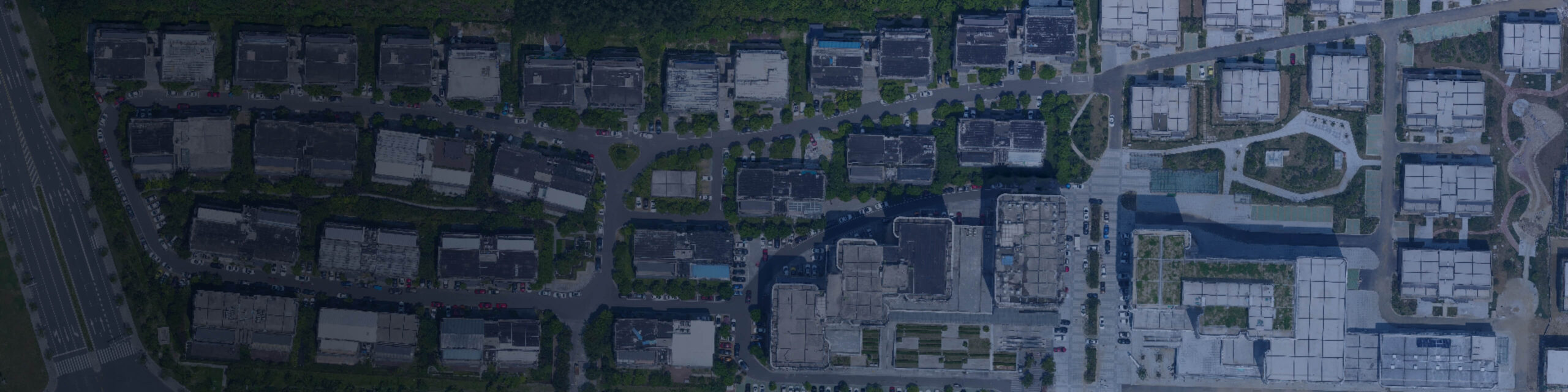
African cities are growing faster than their existing spatial records can be updated. Settlements have expanded into areas that outdated maps still show as vacant. Road networks have formed organically where no road was originally planned, while building density has increased in areas that official records may still describe as low-rise.
Planning against an outdated spatial record produces decisions that do not reflect current ground conditions. Infrastructure may be sized for a population that has already been exceeded. Service planning may rely on settlement patterns that changed years ago, while development approvals may be assessed against land-use records that are no longer accurate.
Drone surveying produces a current, accurate, and three-dimensional record of the city as it actually exists. It provides centimetre-level orthophotos, building footprints, terrain models, point clouds, and photorealistic 3D city models that support planning, service delivery, infrastructure design, and development monitoring.
Aerosmart supplies, configures, and supports the complete DJI urban survey ecosystem across 14+ African countries as an authorised DJI Enterprise dealer.
| Specification | Detail |
|---|---|
| Survey Platforms | Matrice 350 RTK · Matrice 400 · Matrice 4E |
| Photogrammetry | Zenmuse P1 with Smart Oblique Capture |
| LiDAR | Zenmuse L2 · Zenmuse L3 |
| RTK Base Stations | D-RTK 3 · D-RTK 2 |
| Horizontal Accuracy | Approximately 3 cm without ground control points |
| Coverage | Approximately 3 km² per flight with Zenmuse P1 · Up to 100 km² per day with Zenmuse L3 |
| 3D Capability | Smart Oblique Capture · Multi-angle building reconstruction |
| Outputs | Orthophoto · DSM · DTM · 3D city model · Point cloud |
| Processing | DJI Terra · DJI Modify · PIX4Dmatic |
| Model Editing | DJI Modify · Vehicle removal · Texture repair |
| Vectorisation | PIX4Dsurvey · Building footprints · Land-use boundaries |
| Delivery Markets | 14+ African countries |
Current Base Mapping
High-resolution orthophotos replace outdated base maps with an
accurate representation of current ground conditions across the
planning area.
3D City Modelling
Smart Oblique Capture produces photogrammetric building models
covering complete urban forms, including building heights,
footprints, roof geometry, façades, and street-level context.
Informal Settlement Documentation
Accurate spatial documentation of settlement areas that formal
mapping may not previously have covered, supporting service planning,
upgrading programmes, and tenure formalisation.
Land-Use Documentation
Current land-use records support zoning reviews, development control,
property-rating updates, and planning-policy decisions.
Infrastructure Planning Survey
Terrain models and existing-infrastructure documentation support the
design of roads, drainage systems, water networks, and utility
corridors.
Development Monitoring
Repeat surveys identify unauthorised development, track approved
project progress, and document urban expansion over time.
Nadir photography looking straight down captures roofs and ground surfaces, but it cannot properly capture building façades. This can produce incomplete or distorted vertical surfaces in 3D models. Complete urban modelling therefore requires oblique imagery captured from multiple angles.
The Zenmuse P1's Smart Oblique Capture automates this acquisition process by capturing multi-angle imagery in a single mission without requiring manual gimbal control on every pass. DJI Terra processes the captured imagery into photorealistic 3D city models, while DJI Modify can remove parked vehicles and repair texture artefacts that may otherwise reduce the model's presentation quality.
Nairobi, Lagos, Accra, Kigali, Addis Ababa, Dar es Salaam, Kampala, Lusaka, Maputo, Abidjan, and Windhoek are all planning under the same constraint: rapid urban growth against spatial records that are already falling behind.
Municipal authorities increasingly recognise that periodic satellite imagery does not always provide the resolution required for plot-level planning, while commissioning manned aerial photography can be too expensive to repeat at the frequency that urban growth demands.
Drone surveying fills this gap by providing higher-resolution data than conventional satellite imagery, at a lower operating cost than manned aerial capture, with the repeatability required to update base mapping annually rather than once every decade.
01 Authorised DJI Enterprise Dealer
Genuine products, original warranties, current firmware, and aviation
authority registration documentation.
02 Delivery Across 14+ Countries
Direct shipping, export documentation, and import duty guidance.
03 Urban Airspace Regulatory Guidance
Country-specific written guidance covering the additional regulatory
considerations involved in urban drone surveying.
04 Programme Configuration Consultation
Fleet, payload, processing hardware, and workflow configuration
matched to your city's survey extent and required update frequency.
05 Post-Sale Support and Servicing
Dubai-based repair, maintenance, and remote diagnostic support.
06 Urban Survey Workflow Training
Training covers Smart Oblique Capture planning, 3D processing,
DJI Modify editing, and vectorisation through Aerosmart Academy.
07 Complete System Configuration
Aircraft, payload, RTK base station, processing software, training,
and support supplied as a complete working urban survey capability.
Yes, in sections. The Zenmuse L3 mounted on the Matrice 400 can cover up to 100 km² per operating day. Most city-planning areas are therefore mapped through a defined campaign rather than in one flight.
Drone orthophotos can achieve sub-centimetre ground sample distance, while satellite imagery is commonly measured in tens of centimetres. This provides the detail required to identify individual plots, structures, roads, and land-use boundaries.
Yes. Smart Oblique Capture with the Zenmuse P1 produces multi-angle imagery that DJI Terra reconstructs into photorealistic 3D city models, including building façades, heights, footprints, roof geometry, and street-level context.
DJI Modify uses object-detection tools to identify vehicles in the model, remove them, flatten affected areas to road level, and apply automatic texture correction through a batch workflow.
Yes. High-resolution aerial surveys provide accurate spatial documentation of settlement areas that formal mapping may not previously have covered, supporting service planning, settlement upgrading, and tenure-formalisation programmes.
Orthophotos can be exported as GeoTIFF, terrain models as GeoTIFF and XYZ, point clouds as LAS and LAZ, 3D models as OBJ and SLPK, and vectorised features as DXF, SHP, and GeoPackage.
Yes. Aerosmart Academy delivers complete urban-survey workflow training on-site across supported African markets or at its Nairobi Academy.
Aerosmart supplies African markets including Kenya, Nigeria, Ethiopia, Ghana, Tanzania, Uganda, Rwanda, Zambia, Mozambique, Malawi, Zimbabwe, Namibia, Mali, Chad, Togo, Sierra Leone, The Gambia, Seychelles, the Republic of the Congo, the Democratic Republic of the Congo, and Côte d'Ivoire.

Fill in your details below and our team will get back to you with a personalised quote.