
Centimetre-Level RTK Positioning for Professional Survey Operations
Engineered for Accuracy, Designed for Versatile Deployment
DJI Terra Mapping and Processing Software Available Across Africa from Aerosmart Africa, Authorised DJI Enterprise Dealer
Advanced Logistics Infrastructure Backed by Seamless Inventory Management
Established Channel Partnerships Across 30+ African Countries
Strategic Warehousing Across Key African Markets
Comprehensive Pre-Sales Consultation & Solution Engineering
DJI Terra converts what the aircraft collected into what the client is paying for. Orthophotos, digital surface and terrain models, photogrammetric 3D models, LiDAR point clouds, NDVI and NDRE crop health maps, and the variable-rate prescription maps that guide DJI Agras spray operations all processed within a single integrated platform that requires no internet connection at any stage.
That offline capability is not a convenience feature. Across the survey environments where African professional drone operations actually take place open-pit mines in the Copperbelt, forestry concessions in Central Africa, agricultural estates in the Ethiopian highlands, and pipeline corridors through the Niger Delta reliable mobile data coverage is the exception rather than the rule. DJI Terra processes at the field base, delivers the same day, and never depends on a connection that the site cannot provide.
Aerosmart supplies and supports DJI Terra as an authorised DJI Enterprise dealer across Africa, including licence tier consultation, coordinate system configuration for national survey frameworks, and the workflow training that gets survey teams producing deliverables from their first project.

Processing capability, output range, and workflow integration at a glance.
The operational sequence that offline processing enables is what changes field economics. A survey team flies the site in the morning, processes the data at the field base over lunch, verifies coverage completeness and output quality before demobilising, and leaves the site knowing the deliverable is complete.
The alternative collect data, return to the office, process, discover a coverage gap or a quality problem, and mobilise back to the site carries a cost that scales with the remoteness of the location. For a site four hours' drive from the nearest town, or accessible only by charter aircraft, a return visit for a data quality issue can cost more than the entire original survey.
DJI Terra removes that risk from the workflow. Everything processes locally, immediately, without connectivity and the team confirms the job is done before they pack up.
DJI Terra processes Zenmuse L1, L2, and L3 LiDAR data through an automated pipeline that handles trajectory computation, point cloud accuracy optimisation, RGB colourisation, ground point classification, DEM generation, and contour output from a single processing initiation.
What that automation replaces is a workflow that traditionally required specialist LiDAR processing software, expert parameter configuration, and hours of manual classification editing. A survey technician rather than a LiDAR specialist executes the standard deliverable production, which for African survey businesses building capability without access to a deep specialist labour market is a significant practical advantage.
Quality reporting and profile inspection tools verify point cloud accuracy and density against the project specification before the deliverable is released to the client.
DJI Terra processes DJI Mavic 3 Multispectral flights into NDVI and NDRE vegetation index maps, applies radiometric correction for illumination variation between flights, and generates the variable-rate prescription maps that DJI Agras T25, T50, and T100 aircraft execute during spray missions.
That complete cycle — survey, process, prescribe, apply — runs entirely within the DJI ecosystem across products Aerosmart supplies and supports.
For African agronomy service providers and commercial farming operations building precision agriculture capability, the integrated workflow removes the data translation steps and third-party prescription services that mixed-vendor systems require.
DJI Terra V5.2.8 introduces 3D Gaussian Splatting, a reconstruction approach that produces visually detailed, realistic 3D representations faster and with better handling of complex geometry than conventional photogrammetric mesh reconstruction.
For heritage documentation, architectural visualisation, and the complex terrain and vegetation environments that conventional mesh reconstruction handles poorly, Gaussian Splatting produces outputs that better represent what the site actually looks like.
This is increasingly relevant as African clients in urban planning, tourism, and cultural heritage request immersive 3D deliverables.



Why Operators Buy DJI Terra Through aerosmart
Every DJI Terra licence is genuine, fully featured, and connected to DJI's official update programme, delivering every new capability released.
Remote activation for operators across every African market aerosmart serves.
Configuration advice for your country's national survey coordinate reference framework, ensuring outputs import directly into existing GIS and cadastral systems.
Licence tier and device count assessment matched to your processing volume, dataset sizes, and team structure.
Dubai-based technical team for processing workflow troubleshooting, output configuration, and quality report interpretation.
2D and 3D processing pipeline, LiDAR workflow, NDVI and prescription map generation, real-time mapping, and PPK procedure training available remotely and in-person.
Contact aerosmart for licence pricing across Standard, Pro, and Education tiers.
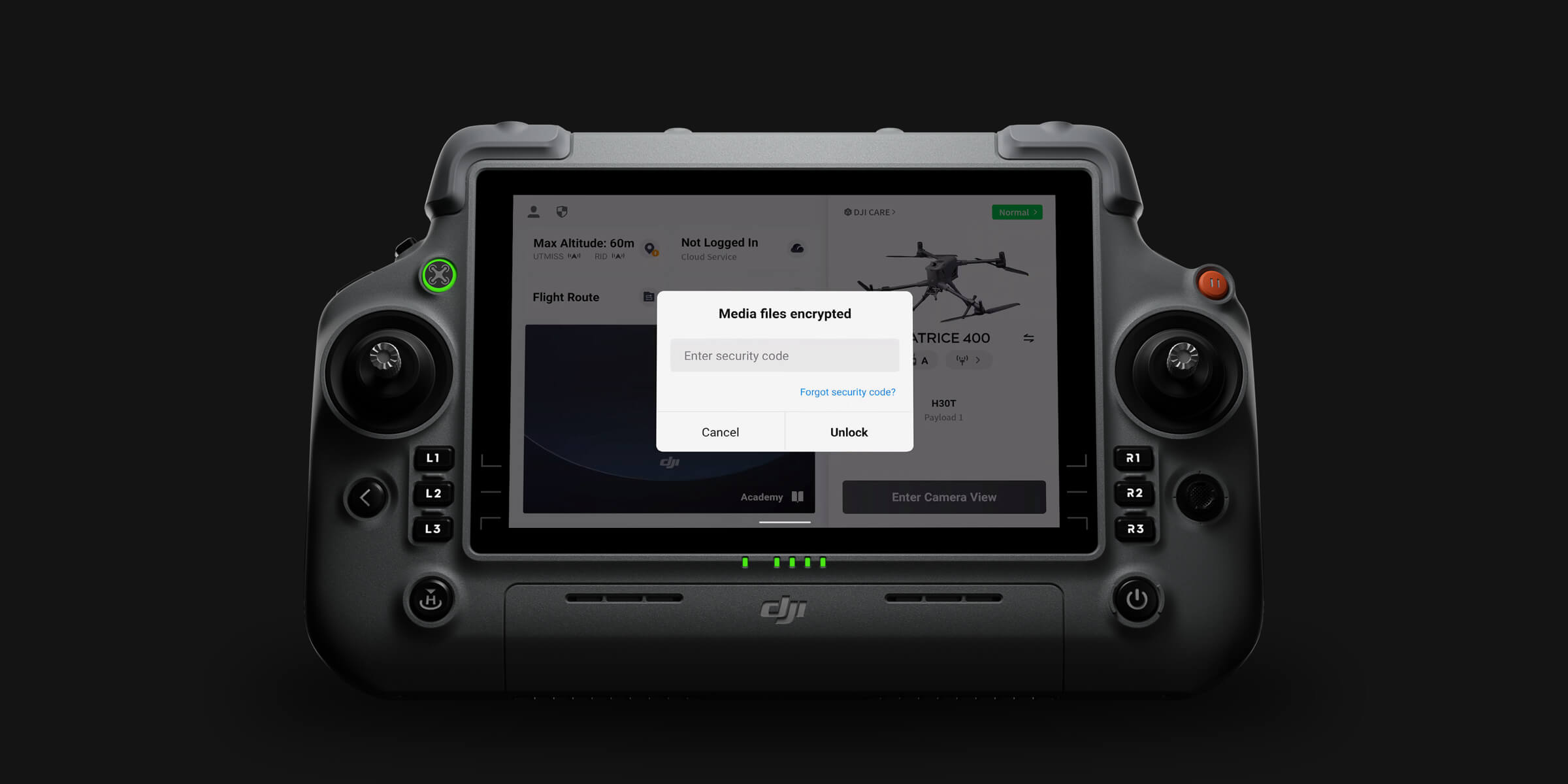
DJI Terra processes entirely on local hardware. Survey imagery, LiDAR data, and produced deliverables never leave the operator's controlled infrastructure. For government mapping agencies, land administration authorities, and clients operating under data sovereignty obligations across African markets, offline local processing eliminates the cloud transfer exposure that hosted processing services introduce.
Protected From Day One DJI Terra licences purchased through aerosmart include full activation support and ongoing platform assistance, alongside the DJI Care Enterprise Plus coverage protecting the aircraft and payloads generating the data Terra processes. All support handled directly by aerosmart.
DJI Terra licences are available from aerosmart, an authorised DJI Enterprise dealer, with remote activation across 14+ African countries. Contact our team for licence tier and pricing advice.
Yes. DJI Terra processes photogrammetry, LiDAR, and multispectral data entirely offline without internet connectivity at any stage, making it suitable for remote African field environments including mine sites, agricultural estates, forestry concessions, and rural survey areas.
DJI Terra produces orthophotos and true digital orthophoto maps, digital surface and terrain models, photogrammetric 3D models, LiDAR point clouds with classification and DEM output, NDVI and NDRE crop health maps, and variable-rate prescription maps for DJI Agras spray operations.
Yes. DJI Terra is the primary processing platform for Zenmuse L1, L2, and L3, performing trajectory computation, accuracy optimisation, ground classification, DEM generation, and colourised point cloud output through a one-click workflow.
Yes. DJI Terra processes DJI Mavic 3 Multispectral data into NDVI and NDRE maps and generates the variable-rate prescription maps that DJI Agras T25, T50, and T100 aircraft execute during spray missions.
Introduced in V5.2.8, Gaussian Splatting is a next-generation reconstruction method producing more realistic and detailed 3D representations faster than conventional photogrammetric mesh reconstruction, particularly effective for heritage sites, architecture, and complex vegetation environments.
DJI Terra is fully integrated with DJI hardware, processes LiDAR and multispectral alongside photogrammetry, and works completely offline. PIX4Dmatic is optimised for very large photogrammetric datasets and corridor project geometry. Many African survey operations use both.
Pricing varies by licence tier and device count. Contact aerosmart at Sales@aerosmartglobal.com for an accurate quote.


Fill in your details below and our team will get back to you
with a personalized quote.