
Centimetre-Level RTK Positioning for Professional Survey Operations
Engineered for Accuracy, Designed for Versatile Deployment
DJI D-RTK 2 High Precision GNSS Mobile Station Available Across Africa from Aerosmart Africa, Authorised DJI Enterprise Dealer
Advanced Logistics Infrastructure Backed by Seamless Inventory Management
Established Channel Partnerships Across 30+ African Countries
Strategic Warehousing Across Key African Markets
Comprehensive Pre-Sales Consultation & Solution Engineering
The D-RTK 2 High Precision GNSS Mobile Station is the established ground reference base for DJI enterprise survey operations the unit that has delivered centimetre-accurate positioning across thousands of professional survey programmes worldwide, and that remains the correct choice for Matrice 350 RTK and Matrice 300 RTK operations where the newer D-RTK 3's expanded constellation architecture is not required by the accuracy specification.
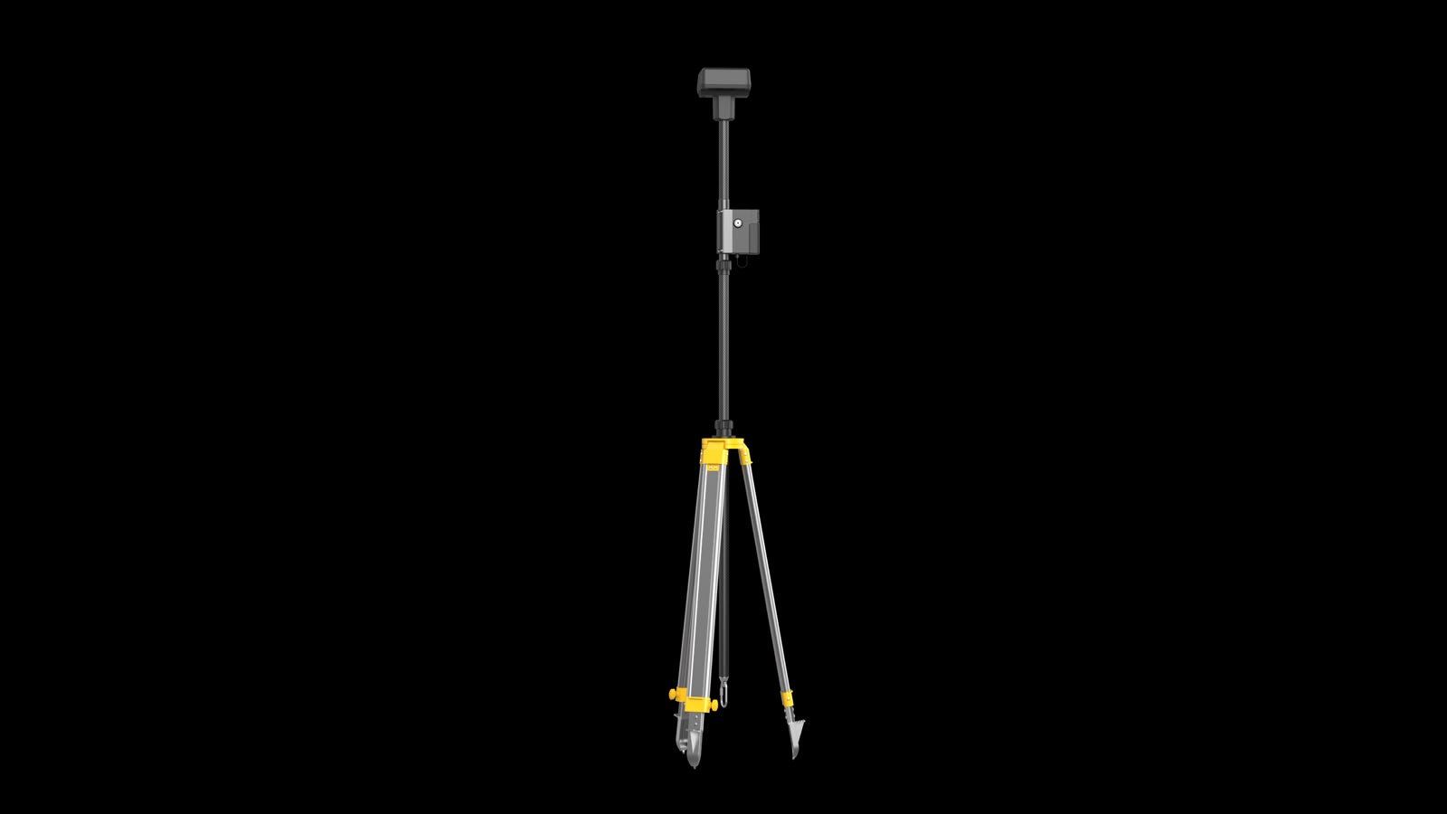
Field deployment is the D-RTK 2's defining operational characteristic. The unit erects on its integrated tripod, acquires satellite lock, establishes its reference position, and begins broadcasting corrections without external configuration or specialist survey knowledge. A drone operator with no formal survey training deploys the D-RTK 2 correctly on their first attempt, and the survey mission proceeds with the positional accuracy that the deliverable requires.
Aerosmart supplies and supports the D-RTK 2 Mobile Station as an authorised DJI Enterprise dealer across Africa. Our team will confirm compatibility with your existing aircraft, advise on the accuracy specification your programme requires, and configure the coordinate reference framework for your national survey system.
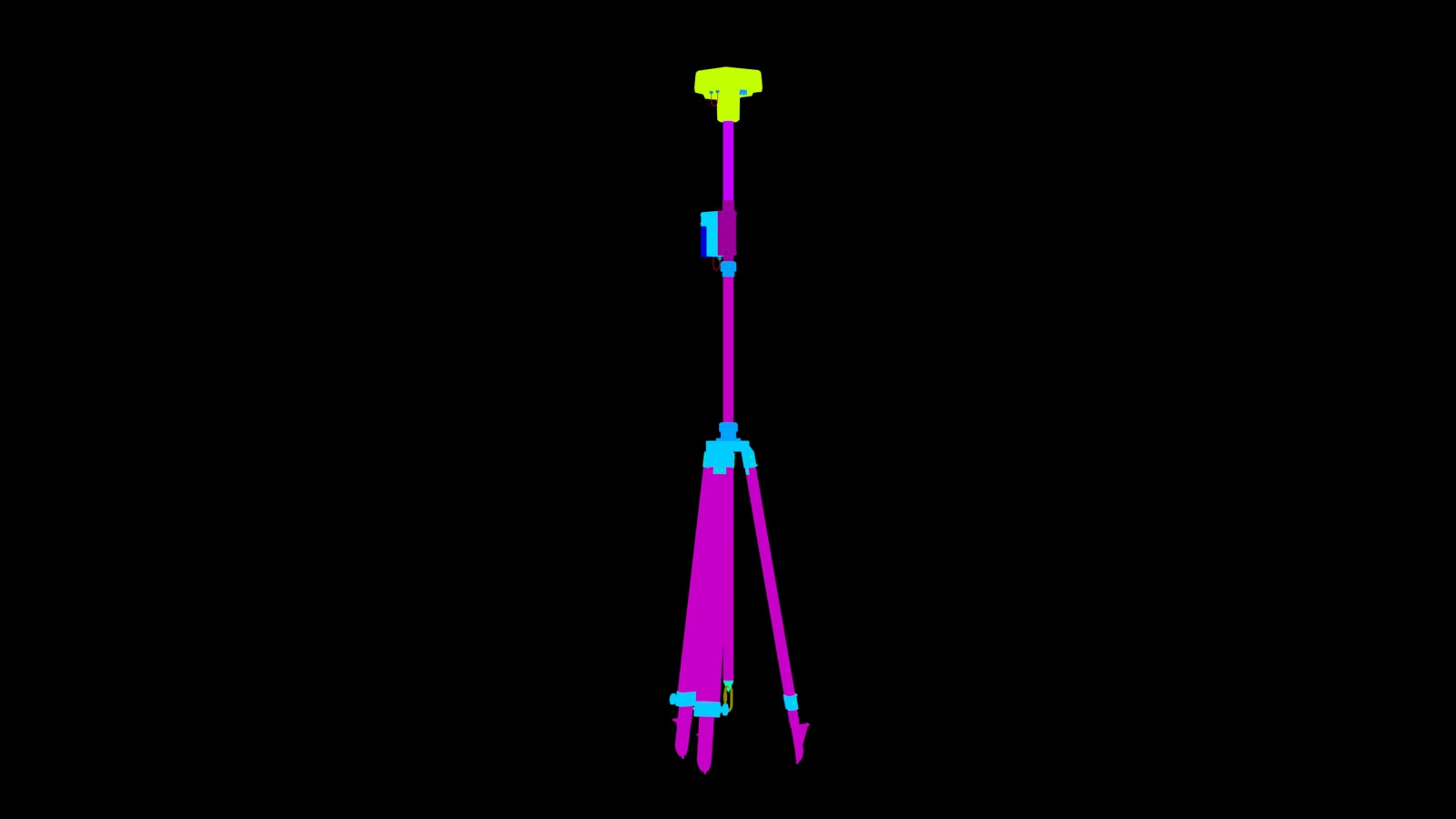
Accuracy, constellation support, and deployment characteristics at a glance.
The D-RTK 2 delivers 1 cm + 1 ppm horizontal and 2 cm + 1 ppm vertical accuracy the specification that survey-grade aerial mapping, cadastral documentation, construction earthwork measurement, and mining volumetric calculation all require for their outputs to be defensible in the commercial, legal, and regulatory contexts they are submitted into.
That accuracy is delivered without ground control points. The base station's real-time correction stream constrains the aircraft's recorded position for every image capture and LiDAR return throughout the flight, producing a georeferenced dataset whose accuracy derives from the aircraft's own positional solution rather than from surveyed markers on the ground.
For African survey operations covering areas where establishing ground control is impractical due to terrain access, security, or simply the time cost of the GCP workflow the D-RTK 2 makes survey-accuracy aerial mapping achievable at the pace that commercial survey delivery timelines require.
The D-RTK 2's integrated tripod and self-contained design were built for the operational reality of field survey arriving at a site, deploying quickly, working, and moving to the next location within the same working day.
The unit extends on its integrated tripod, powers on, acquires satellite lock across four GNSS constellations, establishes its reference position, and begins broadcasting corrections. Internal battery power sustains extended field operation without requiring an external power source, and external DC input supports longer static deployments where continuous operation across multiple survey days is needed.
For African survey teams running multi-site programmes a cadastral survey crew covering multiple village boundaries across a district, a mining survey contractor visiting several client sites in a week, or an agronomy service provider mapping different farm blocks across a region deployment speed directly determines how many sites can be covered per operational day.
The primary pairing. The Matrice 350 RTK's integrated RTK module receives D-RTK 2 corrections to deliver its full centimetre-accurate positioning specification across survey and inspection missions.
DJI Matrice 300 RTK: The established enterprise survey platform across African operations, fully supported by D-RTK 2 correction for survey-grade output using Zenmuse P1 photogrammetry and Zenmuse L2 LiDAR payloads.
DJI Phantom 4 RTK: Legacy compact survey platform support for operators maintaining Phantom 4 RTK fleets alongside newer enterprise aircraft.





Why Operators Buy the D-RTK 2 Through aerosmart
Every D-RTK 2 carries original DJI warranty, current firmware certification, and regulatory-compliant documentation. No parallel imports. No counterfeit risk.
Direct shipping with full export documentation and import duty guidance included for every destination market.
Configuration advice for your country's national survey coordinate reference framework, ensuring outputs integrate directly into existing GIS and cadastral systems.
Compatibility confirmation with your existing aircraft, accuracy requirement assessment, and advice on whether the D-RTK 2 or D-RTK 3 is the correct choice for your programme.
Dubai-based repair, maintenance, and remote diagnostics team available to all clients.
Base station deployment, RTK workflow setup, and DJI Terra survey processing integration training available remotely and in-person.
Contact aerosmart for base station pricing and complete survey system bundle quotes.
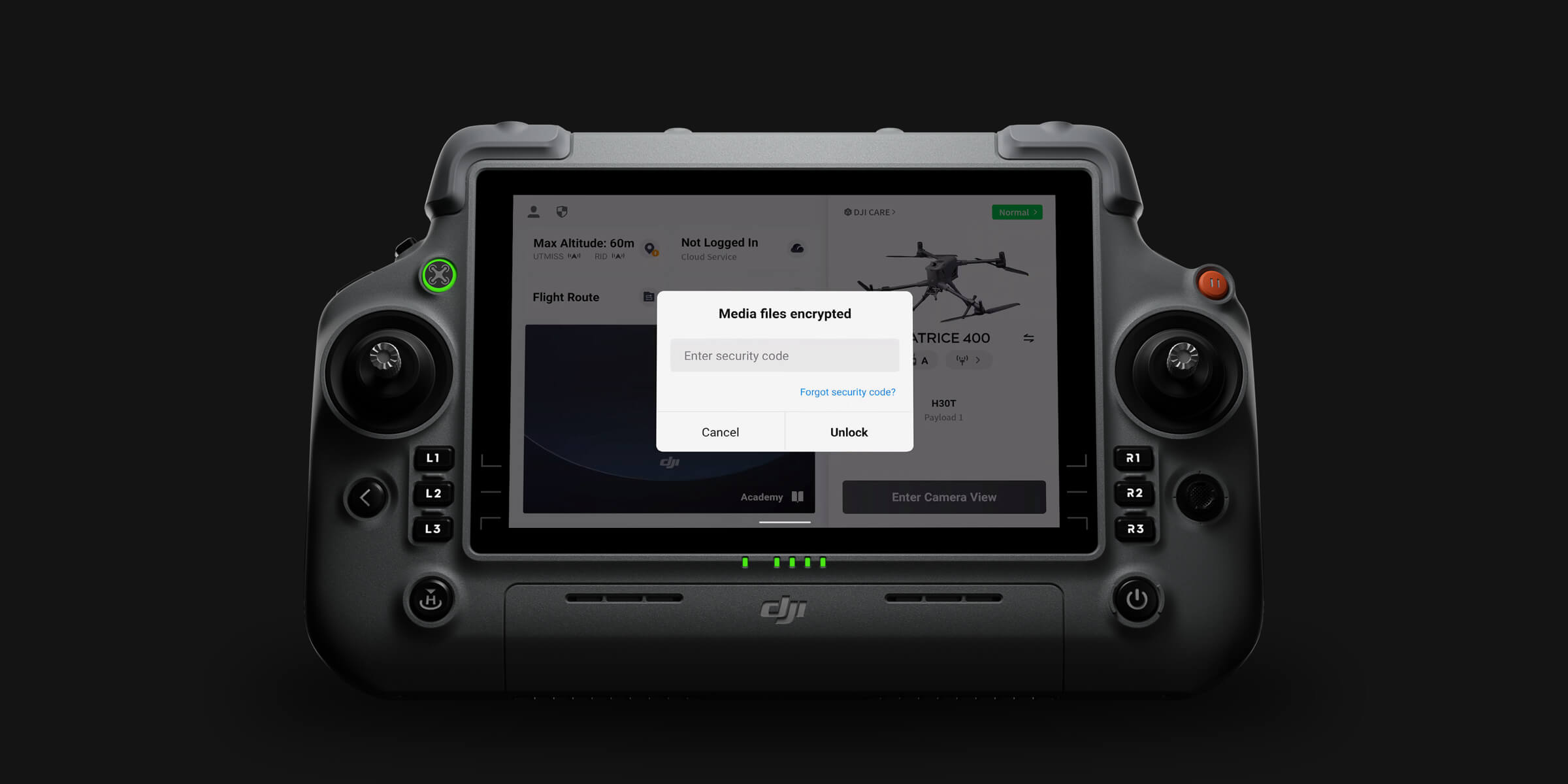
The D-RTK 2 operates within DJI's enterprise data protection framework, supporting Local Data Mode operation where survey correction and observation data remain entirely within the operator's environment. For government agencies and clients with data sovereignty requirements, the D-RTK 2 supports survey workflows that never route data through external cloud services.
Every D-RTK 2 Mobile Station purchased through aerosmart comes with access to DJI Care Enterprise Plus, covering the unit from the activation date.
All activations and claims are handled directly by aerosmart.
Unlimited free repairs within coverage limit.
Shared limit across your fleet.
Hassle-free mail-in service.
Rapid response from trained DJI experts.
Worry-free support for every deployment.
The D-RTK 2 is available from aerosmart, an authorised DJI Enterprise dealer, with delivery across 14+ African countries. Contact our team for pricing and compatibility confirmation.
The D-RTK 2 delivers 1 cm + 1 ppm horizontal accuracy and 2 cm + 1 ppm vertical accuracy, providing survey-grade positioning without ground control points.
The D-RTK 2 is compatible with the DJI Matrice 350 RTK, Matrice 300 RTK, and Phantom 4 RTK.
The D-RTK 3 adds expanded five-constellation reception including QZSS, faster satellite acquisition, improved tracking under partial sky obstruction, and compatibility with the Matrice 400 and Zenmuse L3.
The D-RTK 2 remains the correct choice for Matrice 350 RTK and Matrice 300 RTK operations where the required accuracy specification is met.
Minutes. The integrated tripod extends, the unit powers on, acquires four-constellation satellite lock, establishes its reference position, and begins broadcasting corrections without specialist survey configuration.
No. Real-time RTK correction constrains the aircraft's recorded position throughout the flight, producing survey-accurate georeferenced data without ground control markers.
Yes. Purchased through aerosmart, the D-RTK 2 includes DJI Care Enterprise Plus eligibility, with activations and claims handled locally.
Pricing varies by configuration and destination country. Contact aerosmart at Sales@aerosmartglobal.com for an accurate quote.

Fill in your details below and our team will get back to you
with a personalized quote.