

Construction activity is accelerating across Africa—commercial and residential developments, highways and rail, ports and airports, dams, energy projects and industrial parks in Kenya, Nigeria, Ghana, Tanzania and beyond. On projects of this scale, contractors, developers, consultants and lenders all need a clear, current and objective picture of what has actually been built, and how that compares with the programme and the design.
Manual progress tracking struggles to keep up. Site walks and handheld photographs capture only part of a large site at a single point in time, written and verbal reports vary between teams, and stakeholders who are not on site depend on second-hand updates. Deviations from design, earthwork discrepancies and schedule slippage can go unnoticed until they are expensive to correct.
DJI enterprise drones can capture the entire site from the air in a single planned mission, producing survey-grade orthomosaics, 3D models and elevation data that document site state on a known date. Repeated over the life of a project, these datasets can support objective progress reporting, as-built comparison, earthwork measurement and remote coordination—while engineering decisions remain the responsibility of qualified professionals, and platform selection should reflect site size, accuracy requirements and local aviation rules.
Ground-only progress management can create three related challenges: limited visibility, inconsistent records and late detection of problems.
Limited visibility: A single person on the ground can observe only the areas they can physically reach. Large footprints, multiple work fronts, active earthworks and completed sections above eye level are difficult to assess as a whole, and blind spots are easy to miss.
Inconsistent records: Progress captured through separate photographs, spreadsheets and verbal updates is hard to compare from week to week or to verify remotely. An accurate, dated aerial record can give all parties a consistent view of the same site.
Late detection of problems: Without current as-built data, deviations from design, quantity discrepancies and schedule slippage may be identified late—increasing the risk of rework, claims and payment disputes.
For accurate, whole-site progress capture, the DJI Matrice 350 RTK can be paired with the Zenmuse P1. The Matrice 350 RTK is an IP55-rated enterprise platform with an advertised maximum flight time of up to approximately 55 minutes under specified test conditions; actual endurance varies with weather, flight profile, payload and operating conditions.
The Zenmuse P1 combines a 45 MP full-frame sensor with a mechanical shutter designed for photogrammetry. Captured across a planned mission, the imagery can be processed in DJI Terra or PIX4Dmatic into a survey-grade orthomosaic, digital surface model, point cloud and 3D mesh. With RTK positioning and appropriate ground control, this workflow can document the whole site on a known date and support measurement of areas, distances and earthwork volumes. Final accuracy depends on flight altitude, survey control, terrain, image overlap and processing methods.
Progress management is most valuable when capture is regular and consistent. A DJI Dock 3 workflow with the DJI Matrice 4D can support scheduled, repeatable flights from a fixed, on-site station, allowing a site to be surveyed at set intervals from a consistent viewpoint with minimal crew mobilisation for each flight.
Repeated missions can generate dated, georeferenced datasets that build a reliable time-series record of the project. DJI FlightHub 2 can support mission scheduling, data review and the creation of a consistent progress archive. Scheduling, flight frequency and operating conditions remain subject to local aviation requirements and the organisation's approved procedures.
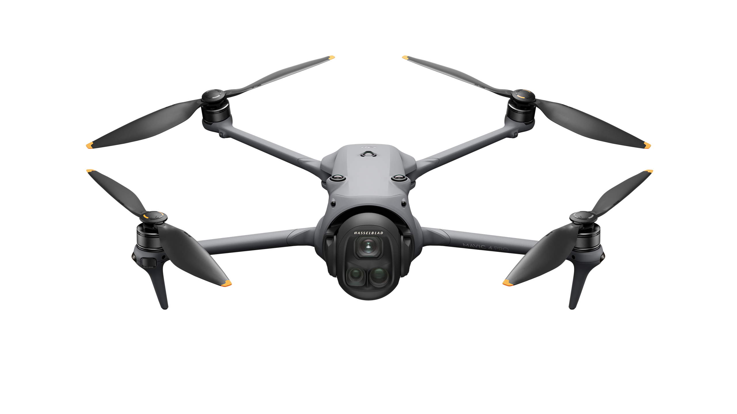
For frequent, lighter-touch updates, the compact DJI Matrice 4 Series suits portable single-operator operation. Its mapping-oriented camera system and mechanical shutter support rapid orthomosaic and 3D capture over smaller sites or individual work fronts, and its portability allows a site engineer to fly a quick progress mission without a large crew or setup.
Datasets from the Matrice 4 Series can be processed in DJI Terra and shared through DJI FlightHub 2 in the same workflow as larger-platform captures, allowing frequent site updates to sit alongside periodic high-accuracy surveys. Coverage and accuracy depend on flight planning, control, terrain and processing settings.
Capture and flight planning: Using DJI Pilot 2 or DJI FlightHub 2, an operator can define a repeatable mapping mission so the same area is flown consistently on each visit. RTK positioning and, where required, ground control points support accurate, comparable datasets across successive captures.
Processing and analysis: DJI Terra, PIX4Dmatic and PIX4Dsurvey can process captured imagery into orthomosaics, digital surface models, point clouds and 3D meshes. These outputs can be measured for volumes, areas and distances, and overlaid against the site plan or an existing BIM model to compare as-built progress with the design. Analysis supports coordination but does not replace assessment by qualified engineers and surveyors.
Reporting and coordination: Processed data and dated site records can be shared with project stakeholders, consultants, investors and lenders through DJI FlightHub 2, providing a consistent, time-stamped view of progress. Agencies and contractors should maintain appropriate access controls, data-retention policies and record-keeping procedures.
Recommended DJI equipment for construction progress management and site monitoring across Africa.
| Scenario | Platform | Payload / Software | Advantage |
|---|---|---|---|
|
Site-wide progress mapping
|
DJI Matrice 350 RTK | Zenmuse P1 · DJI Terra | Survey-grade orthomosaic, 3D model and elevation data of the whole site in a single mission |
|
Automated recurring capture
|
DJI Dock 3 with DJI Matrice 4D | DJI FlightHub 2 | Scheduled, repeatable flights with consistent time-series records and minimal on-site crew |
|
Compact rapid updates
|
DJI Matrice 4 Series | Integrated mapping camera · DJI Terra | Portable single-operator flights for frequent progress captures |
|
Detailed structure documentation
|
DJI Matrice 30T | Integrated zoom and thermal system | Close visual and thermal detail on specific structures and hard-to-reach areas |
DJI enterprise drones capture the whole site from the air in a single planned mission, producing dated orthomosaics, 3D models and elevation data. Repeated over the life of a project, these datasets provide an objective, consistent record that can support progress reporting, as-built comparison against design, earthwork measurement and remote coordination between contractors, consultants and stakeholders.
When the DJI Matrice 350 RTK is used with the Zenmuse P1, RTK positioning and appropriate ground control, accuracy at the centimetre level may be achievable sufficient to measure areas, distances and earthwork cut-and-fill volumes for many progress-management purposes. Actual results depend on flight planning, RTK correction quality, ground control, image overlap, processing settings and site conditions.
Yes. Processed orthomosaics, point clouds and 3D meshes can be overlaid against the site plan or an existing BIM model to compare as-built progress with the intended design, helping teams identify deviations earlier. These comparisons support coordination and reporting but should be assessed by qualified engineers and surveyors.
Yes. A DJI Dock 3 workflow with the DJI Matrice 4D can support scheduled, repeatable flights from a fixed on-site station, building a consistent time-series record with minimal crew mobilisation for each flight, subject to local aviation requirements and the organisation's approved operating procedures.

Fill in your details below and our team will get back to you
with a personalized quote.