
Long-Endurance Drone Platform With Power-Line-Level Obstacle Sensing
Engineered for Excellence, Designed for Versatility
DJI Matrice 350 RTK Enterprise Survey and Inspection Drone Available from aerosmart, Authorised DJI Enterprise Dealer
Authorised DJI Enterprise Dealer Genuine Product, Full Warranty
Delivery To 14+ African Countries Nigeria, Kenya, Ethiopia And Beyond
Country-Specific Regulatory Guidance Included With Every Purchase
DJI Care Enterprise Plus Available Through Aerosmart
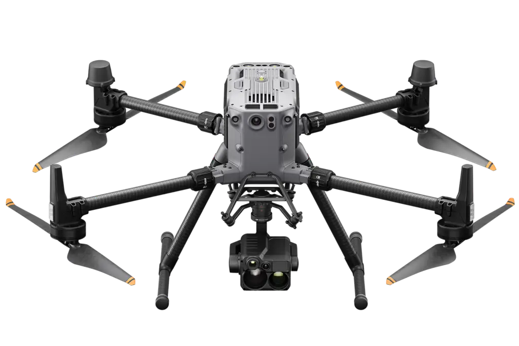
The DJI Matrice 350 RTK is an upgraded flagship drone platform that sets a new benchmark for the enterprise industry. Built tough with powerful propulsion, an enhanced IP55 protection rating, and excellent all-round flight performance, it is fully powered to inject innovative strength into any aerial operation from precision survey and infrastructure inspection to search and rescue and public safety deployment.
This next-generation platform brings an all-new video transmission system and control experience, a more efficient battery system, and more comprehensive safety features alongside robust payload and expansion capabilities. The result is a drone that does not ask operators to choose between endurance, precision, safety, and payload flexibility; it delivers all four simultaneously, in a single airframe designed to tackle a wide variety of challenges across the most demanding field environments.
Aerosmart supplies and supports the DJI Matrice 350 RTK as an authorised DJI Enterprise dealer. Whether you are configuring a survey system, an inspection fleet, or a public safety deployment, our team will ensure you receive the right configuration, the right documentation, and the right support from day one.

55-Min Max Flight Time

IP55 Rating

DJI O3 Enterprise Transmission

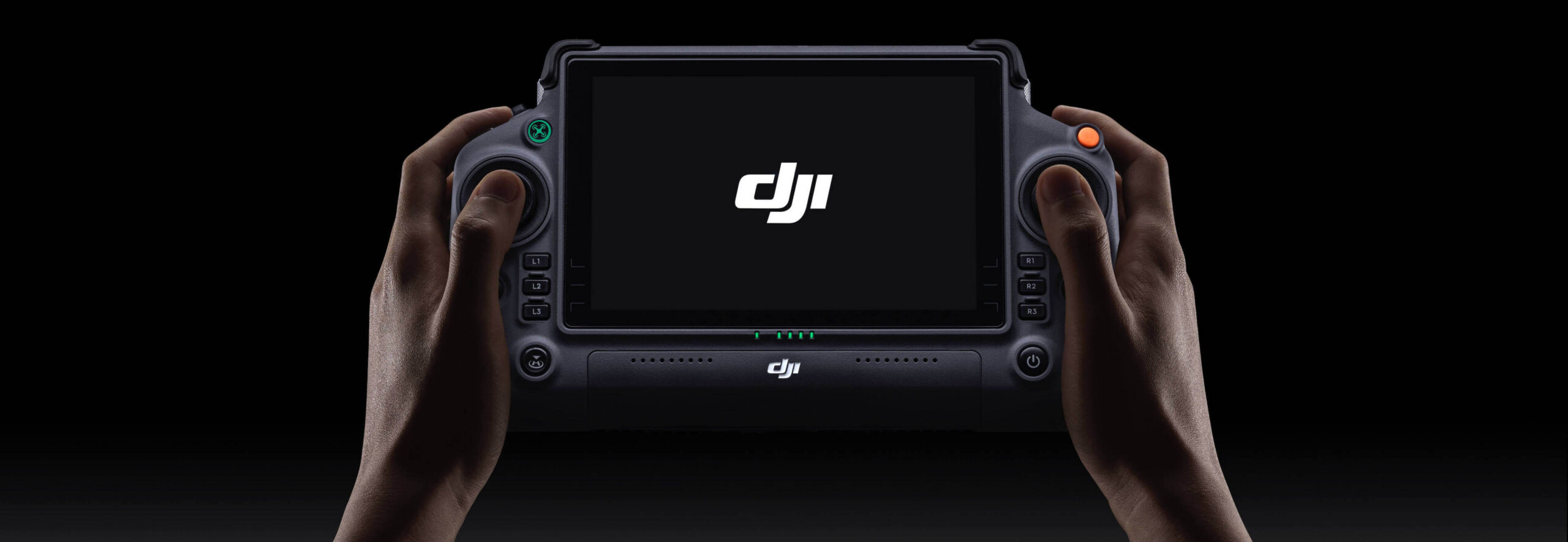
DJI RC Plus

400 Battery Cycles

6-Directional Sensing & Positioning

Night-Vision FPV Camera

Multi-Payload Support
Full specification overview of the DJI Matrice 350 RTK — endurance, precision positioning, sensing, and payload flexibility in one airframe.
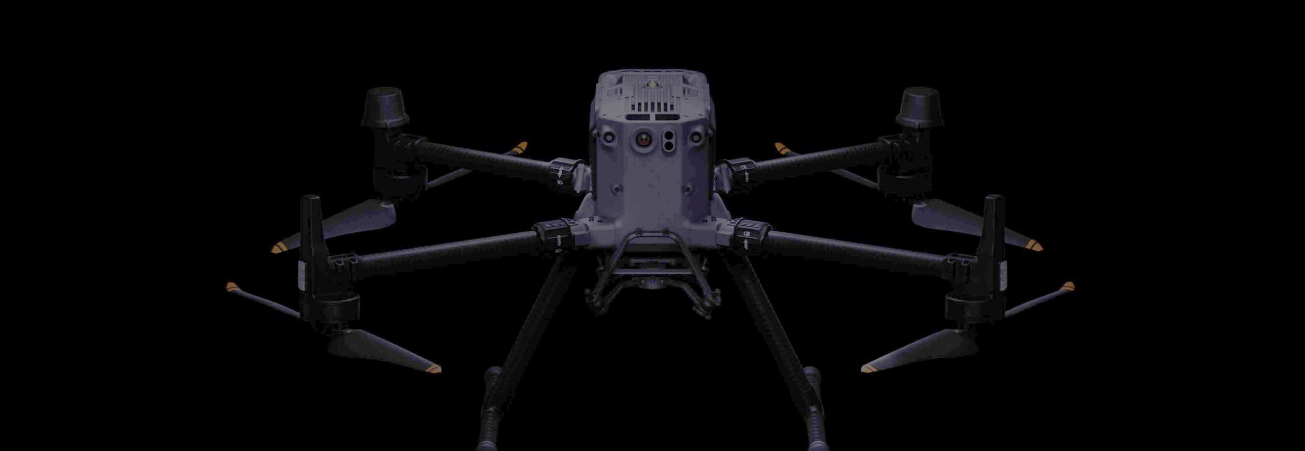
Built tough, the Matrice 350 RTK features powerful propulsion, an enhanced IP55 protection rating, and excellent flight performance allowing it to effortlessly tackle a wide variety of operational challenges without compromise.
Fifty-five minutes of maximum flight time is the headline figure, but what that endurance delivers in practice is fewer interruptions across long-duration missions. Survey teams covering large project areas, inspection engineers working extended powerline corridors, and public safety operators managing wide-area search operations all benefit directly; more continuous coverage per battery cycle means more productive time in the air and less time managing rotations on the ground.
The 7,000 m maximum service ceiling extends the platform's operational envelope significantly. High-altitude deployments, mountain infrastructure inspection, highland agricultural survey, and elevated terrain mapping are well within the aircraft's performance envelope without the altitude-related power loss that affects lighter platforms. Combined with a 12 m/s wind speed resistance, the Matrice 350 RTK remains stable and controllable in the gusty, variable conditions that are a routine feature of exposed ridge-line and coastal inspection environments.
Max Flight Time
hover time
max payload
max altitude
wind resistance
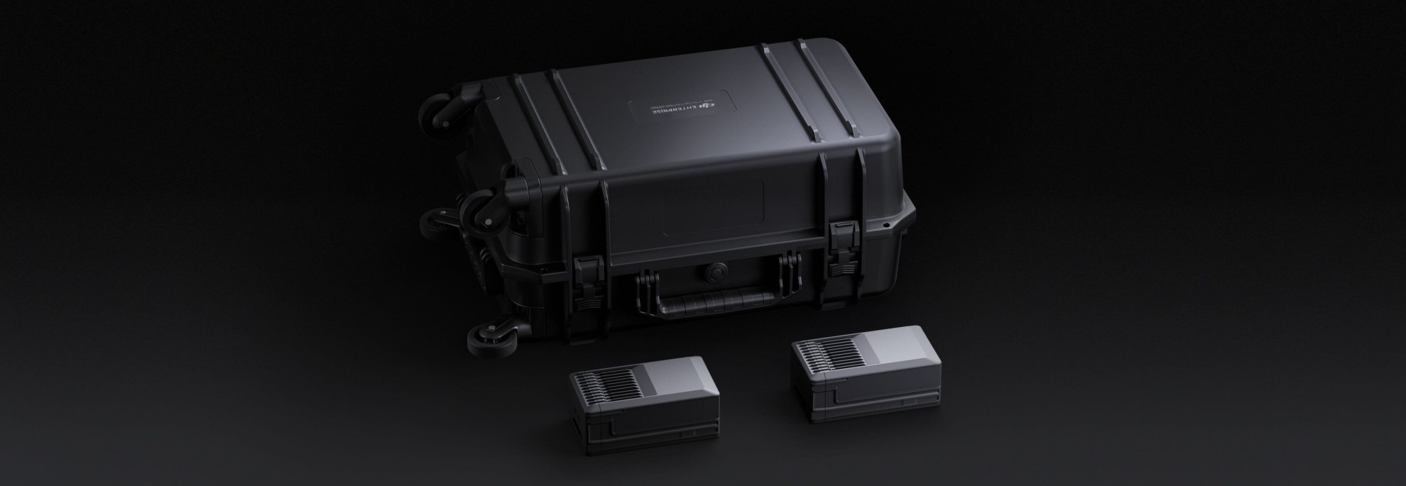
The Matrice 350 RTK introduces a more efficient intelligent battery system engineered around the operational demands of professional enterprise deployment not just raw capacity figures.
Each battery is rated for 400 charge cycles before performance degradation reaches the replacement threshold. For fleet operators running daily missions, that cycle life represents significantly lower battery replacement cost over the operational life of the aircraft compared to lower-rated alternatives.
The hot-swap battery system allows the battery to be replaced without fully powering down the aircraft. Boot cycle, sensor initialisation, and RTK fix acquisition time are all eliminated between battery changes the aircraft returns to a mission-ready state faster, and on time-sensitive deployments, that speed matters.
The TB65 intelligent flight battery communicates continuously with the flight controller reporting cell health, temperature, remaining capacity, and estimated flight time remaining in real time. The ground station display gives the operator full battery state visibility at all times, and the system alerts before critical low-power thresholds are reached to ensure safe return rather than forced emergency landing.
For fleet operations running multiple aircraft, the BS65 multi-battery charging and management hub charges and balances multiple TB65 batteries simultaneously reducing ground time between flights and maximising the number of productive flight hours per day across a multi-aircraft operation.

The Matrice 350 RTK supports the complete DJI Zenmuse payload range covering every professional aerial data collection requirement from thermal and visual inspection to LiDAR point cloud generation and full-frame photogrammetry. A single airframe investment serves every mission type by changing the payload, not the platform.
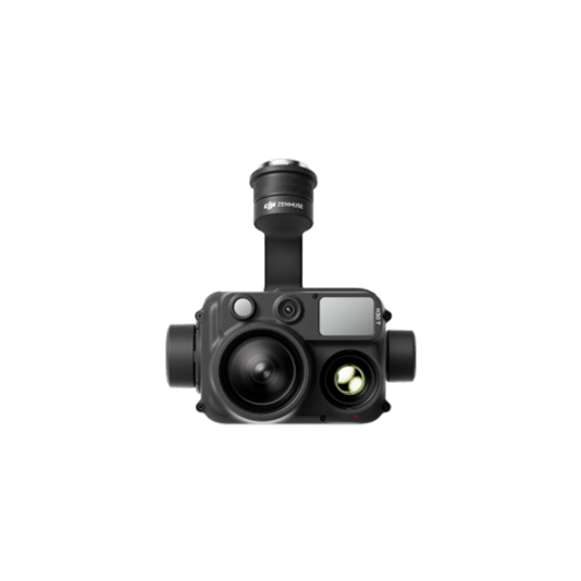
Wide-angle, zoom, thermal, laser rangefinder, and NIR lighting in a single integrated unit. The H30 Series provides the broadest capability set of any single Zenmuse payload handling visual inspection, thermal fault detection, long-range zoom surveillance, and night operations without requiring a payload change between mission types.
Learn More →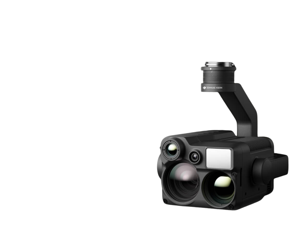
Compact multi-sensor payload combining wide, zoom, thermal, and laser rangefinder in a single unit. The H20N adds a starlight sensor for superior low-light visual performance in night inspection and surveillance operations where image quality in darkness is the critical requirement.
Learn More →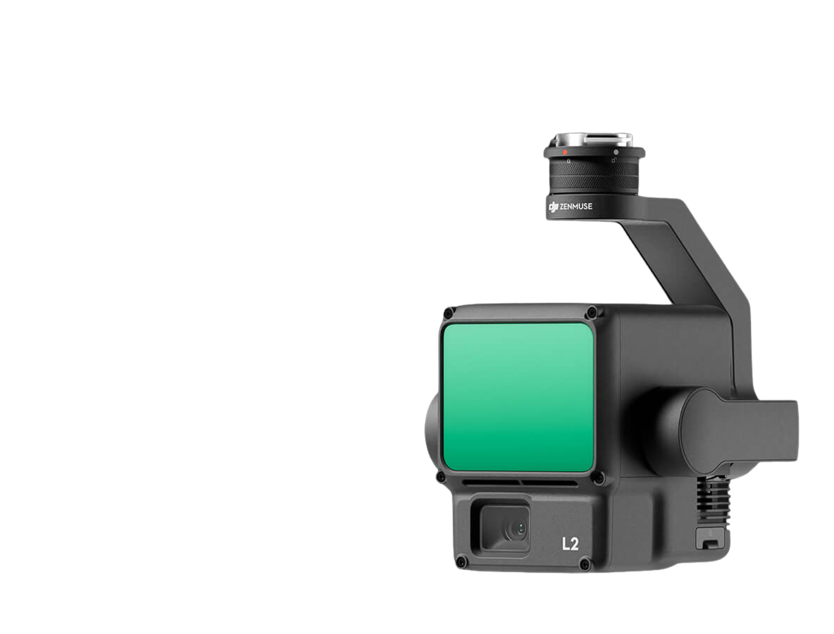
LiDAR + RGB payload delivering 5 million points per second at 4 cm horizontal accuracy. Multi-return capability penetrates vegetation canopy to capture bare-earth terrain models beneath the standard choice for cadastral survey under vegetation, mine high-wall mapping, and forest canopy structure analysis.
Learn More →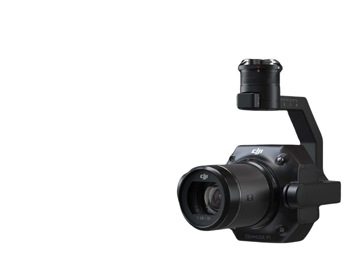
Full-frame 45MP photogrammetry camera with interchangeable fixed-focus lenses. The primary payload for orthophoto production, digital terrain model generation, and survey-grade photogrammetric output where image quality and ground sampling distance are the defining output requirements.
Learn More →
High-brightness LEP spotlight with multiple lighting modes for public safety, search and rescue, and night inspection operations where the aircraft needs to illuminate subjects or scenes at range during low-light deployments.
Learn More →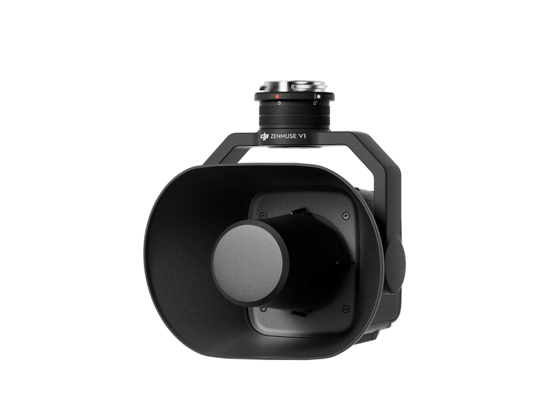
High-volume loudspeaker with multiple broadcast modes. Used for public address, crowd management, and rescue coordination operations where the aircraft serves as an aerial communication platform.
Learn More →The Matrice 350 RTK's omnidirectional obstacle sensing system covers all six directions forward, backward, left, right, upward, and downward using a combination of vision and infrared sensors working continuously throughout every flight. The aircraft actively detects and avoids obstacles in any direction of travel without requiring the pilot to manually monitor every axis of the flight envelope. For survey teams flying automated grid missions near structures, for inspection engineers working close to powerline and tower infrastructure, and for public safety operators navigating complex urban or natural environments six-direction sensing is the safety architecture that protects both the aircraft and the payload on every mission, regardless of the direction from which an obstacle presents itself.
Protection
Operating Temperature
Operating Range
Ready
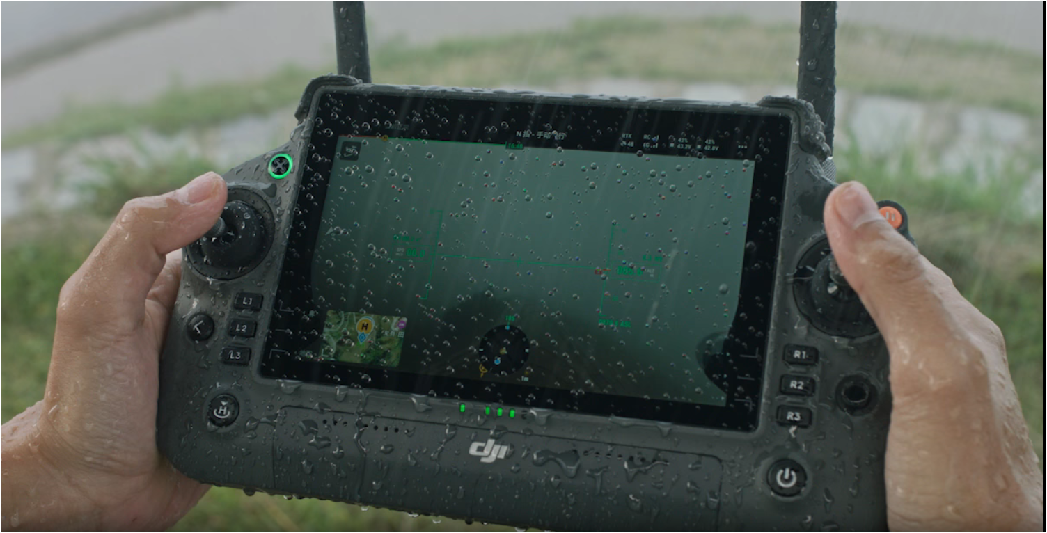
From desert heat to coastal humidity, Matrice 350 RTK keeps delivering.
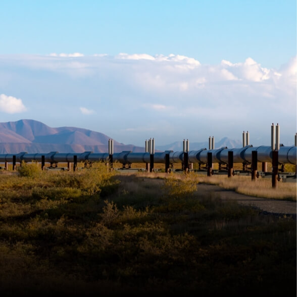
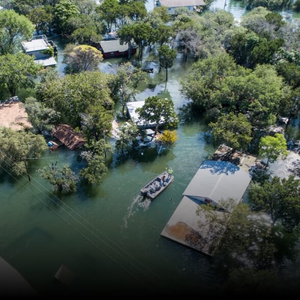
The Matrice 350 RTK carries an IP55 protection rating sealed against dust ingress and low-pressure water jets from any direction. In field conditions, this means the aircraft continues operating through dusty environments, coastal humidity, light to moderate rain, and the mixed conditions that characterise real-world professional deployments where missions cannot simply be postponed because the weather is less than ideal
The operating temperature range of -20°C to 50°C covers the full spectrum of professional field operation environments from high-altitude cold-weather survey deployments in mountainous terrain to high-temperature industrial inspection environments where ambient temperatures regularly exceed what consumer-grade hardware tolerates at its rated limits.
The IP55 rating is an upgrade on the IP43 rating of the Matrice 300 RTK that preceded it a meaningful step forward in environmental protection for an aircraft that professional teams expect to operate in exactly the conditions where lesser-rated hardware requires grounding. For operators running scheduled inspection programmes against fixed project deadlines, an aircraft that stays airborne when conditions deteriorate has direct commercial value that goes beyond the specification sheet.
The DJI O3 Enterprise transmission system delivers stable HD video and a full, responsive control link across the distances that professional enterprise operations require with anti-interference capability in the complex electromagnetic environments that infrastructure inspection and industrial facility operations routinely present.
The system is designed for the conditions where transmission reliability matters most high-voltage infrastructure corridors where RF interference from live lines degrades lesser transmission systems, dense urban environments where competing signals reduce effective range, and remote terrain where the control link is the only operational safety net the pilot has.
The O3 Enterprise transmission system maintains video quality and control responsiveness across extended range without the signal degradation and latency spikes that affect systems using earlier transmission generations. For inspection programmes where video quality is a primary deliverable not just a monitoring feed transmission stability directly affects the commercial value of the data collected on every flight.
For operations at extended range, the Matrice 350 RTK supports relay operation using a second aircraft positioned at altitude to extend the effective communication range beyond direct line-of-sight applicable to long-corridor inspection and remote area survey missions where line-of-sight range limitations would otherwise require additional ground infrastructure.
The RTK system integrated into the Matrice 350 RTK delivers 1 cm + 1 ppm horizontal accuracy and 1.5 cm + 1 ppm vertical accuracy in real time, without requiring ground control points to be placed and surveyed across the mission area before flight begins.
Eliminating ground control points from the survey workflow reduces field preparation time significantly. A project area that previously required a day of GCP placement before a single flight can now be flown immediately on arrival with the RTK fix providing the positional accuracy that the data requires from the moment the aircraft enters the survey pattern. For teams running multiple survey sites on a tight programme, that time saving compounds across every deployment.
The Matrice 350 RTK also supports PPK post-processing for workflows where real-time RTK correction signal is unavailable or where additional positioning redundancy is required. Combined with the D-RTK 2 Mobile Station or D-RTK 3 Multifunctional Station from aerosmart, the system achieves the highest positioning accuracy available in the DJI Enterprise platform range suitable for cadastral survey outputs that must meet national land administration accuracy standards.
For repeat-visit inspection programmes, RTK precision means that datasets from successive visits to the same structure or corridor align precisely enabling reliable change detection, deformation monitoring, and infrastructure conditions trending over time without positional error accumulating between survey cycles.
Pre-programmed waypoint routes execute automatically the aircraft follows the defined path, maintains specified altitude and speed, and triggers the payload at each designated point without requiring continuous pilot input. The standard flight mode for survey grid missions, powerline inspection routes, and any application where repeatable, consistent flight paths are the core operational requirement.
Ideal for survey grid missions, powerline inspection routes, corridor mapping, and any operation where the aircraft must repeat the same flight path with consistent altitude, speed, and payload capture points.
The Matrice 350 RTK supports dual-operator configuration: a dedicated pilot managing the aircraft flight path and a separate payload operator controlling the camera, thermal sensor, LiDAR, or other payload system independently and simultaneously through a second DJI RC Plus controller.
Learn More ↗On complex inspection missions, the pilot manages the aircraft safely in challenging proximity to structures, powerlines, and obstacles while a payload specialist focuses entirely on data quality framing, focus, trigger timing, and sensor management. The pilot is not distracted by payload operation. The payload operator is not concerned with aircraft positioning. Both specialists focus entirely on their area of responsibility.
Learn More ↗This operating model is the professional standard for inspection, survey, and public safety deployments where the mission complexity exceeds what a single operator can manage without reducing performance in either the flight or data collection function. Dual-operator mode is what separates professional enterprise operations from single-operator recreational deployments and the Matrice 350 RTK supports it natively.
Learn More ↗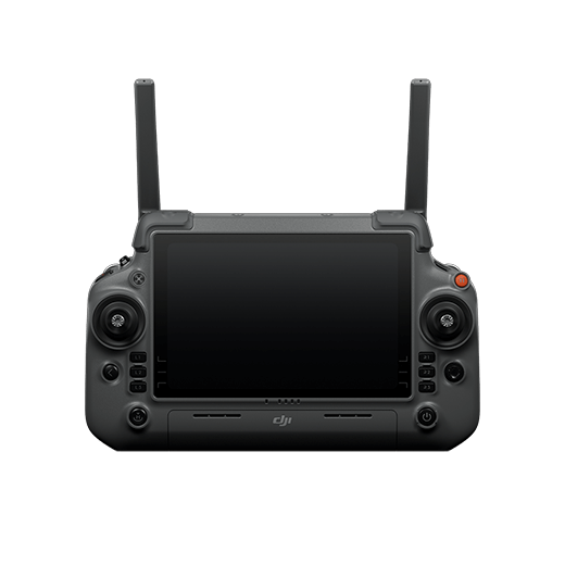
Cloud-based fleet management and remote operations platform updated specifically for Matrice 350 RTK operations. FlightHub 2 provides centralised mission planning, real-time flight monitoring, live video streaming from active missions, and full team coordination for organisations managing multiple aircraft across different sites or projects. Remote access to flight status, payload data, and mission records is available from any internet-connected device enabling operations management without being physically present at every deployment location.
Every component in the Matrice 350 RTK ecosystem is engineered to work together as a system. Key accessories available through aerosmart
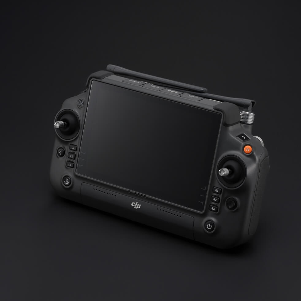
High-brightness screen, IP54 rated, -20°C to 50°C operating range built for demanding field conditions




Every DJI Matrice 350 RTK purchased through aerosmart comes with access to DJI Care Enterprise Plus covering the aircraft from activation date.
All DJI Care Enterprise Plus activations and warranty claims are handled directly by aerosmart no overseas routing, no third-party intermediaries, and no delays from routing claims through unauthorised channels.
Unlimited number of free repairs within the coverage limit.
1 battery per year for reliable long-lasting runtime.
Shared limit for maximum protection across your fleet.
Free mail-in repairs for hassle-free service support.
Rapid response from trained DJI product experts.
Worry-free support for every mission and deployment.
The DJI Matrice 350 RTK is available from aerosmart, an authorised DJI Enterprise dealer with delivery across UAE, GCC, and international regions.
The DJI Matrice 350 RTK is available from Aerosmart, an authorised DJI Enterprise dealer with delivery across 14+ countries. Contact our team for pricing, availability, and payload configuration advice.
The DJI Matrice 350 RTK achieves up to 55 minutes of maximum flight time and 51 minutes of hover duration. The hot-swap battery system allows battery changes without fully powering down the aircraft, reducing turnaround time between flights on extended operations.
The DJI Matrice 350 RTK carries an IP55 protection rating sealed against dust ingress and water jets and operates across a temperature range of -20°C to 50°C, making it suitable for dusty, humid, and high-temperature field environments.
The Matrice 350 RTK supports the full DJI Zenmuse payload range including the H20, H20N, H30 Series, L2, P1, S1, and V1 covering thermal inspection, LiDAR survey, full-frame photogrammetry, spotlight, and loudspeaker applications from a single airframe.
No. The integrated RTK system achieves 1 cm + 1 ppm horizontal and 1.5 cm + 1 ppm vertical accuracy without ground control points in real-time RTK mode. PPK post-processing is also supported for additional positional redundancy on critical survey projects.
The Matrice 400 introduces rotating LiDAR-based obstacle sensing with power-line-level wire detection, O4 Enterprise Enhanced transmission with 40 km range, a 6 kg payload capacity, airborne relay functionality, and ship-based moving vessel landing. The Matrice 350 RTK is the proven, established platform for survey and inspection programmes where these additional capabilities are not required.
The Matrice 350 RTK supports DJI Pilot 2, DJI FlightHub 2, and DJI Terra. It outputs standard formats GeoTIFF orthophotos, LAS point clouds, OBJ and PLY 3D models compatible with major GIS, CAD, and survey software platforms.
DJI Matrice 350 RTK price varies based on payload configuration and bundle requirements. Contact aerosmart directly at mail id-kenya domain for an accurate quote tailored to your operational needs.

Fill in your details below and our team will get back to you
with a personalized quote.