
Every dry season, large areas of African savanna, forest edge, agricultural land and bush are exposed to fire. Some fires form part of planned land-management activities, while others escape control and threaten communities, critical infrastructure, wildlife habitats and local livelihoods. The scale and speed of these incidents can make conventional ground-based observation insufficient for effective response coordination.
Wildfire management requires a clear aerial picture of where the fire is active, how quickly it is moving, which areas contain the most intense heat and where ground teams can operate more safely. Thermal drone systems can provide this situational awareness from above while reducing the need to place personnel close to unstable fire fronts during the initial assessment.
DJI enterprise drone solutions from Aerosmart can support national parks, forestry services, conservation organisations, emergency agencies and civil-protection authorities with aerial wildfire detection, thermal mapping, hotspot identification and response coordination across diverse African environments.
Wildfire response in Africa often takes place across large, remote and difficult-to-access areas. Helicopter-based observation can be valuable, but its operating cost, availability and deployment requirements may limit how frequently it can be used. Ground teams may also struggle to maintain a complete view of a fire perimeter when terrain, smoke or vegetation obstructs direct observation.
Kenya Wildlife Service manages fire risks across extensive national parks and conservation areas. Forest regions in Ethiopia, including Oromia, the Bale Mountains and Afromontane forest systems, can face dry-season fire threats where early detection is critical. Similar risks affect agricultural and savanna landscapes across Nigeria, Ghana and the wider Sahelian region, where controlled burns can spread into natural vegetation or nearby community assets.
Long-endurance thermal drones provide these organisations with a flexible aerial observation capability that can be deployed more frequently than conventional manned aviation. They can help teams monitor large areas, confirm reported fires, map active perimeters and direct limited suppression resources toward the locations of greatest operational priority.
The DJI Matrice 400 paired with the Zenmuse H30T provides a long-endurance platform for thermal observation of large wildfire and bushfire incidents. From an appropriate operating altitude, the system can help map active fire boundaries, identify intense hotspots, monitor the direction of spread and distinguish actively burning areas from cooler sections of the perimeter.
The Zenmuse H30T combines thermal imaging with high-zoom visual inspection, helping incident commanders investigate potential spot fires, assess threatened infrastructure and maintain awareness of changes across the wider fire area. Actual mission coverage depends on the fire size, payload configuration, wind, terrain, visibility, flight restrictions and the distance between the launch point and the operational area.
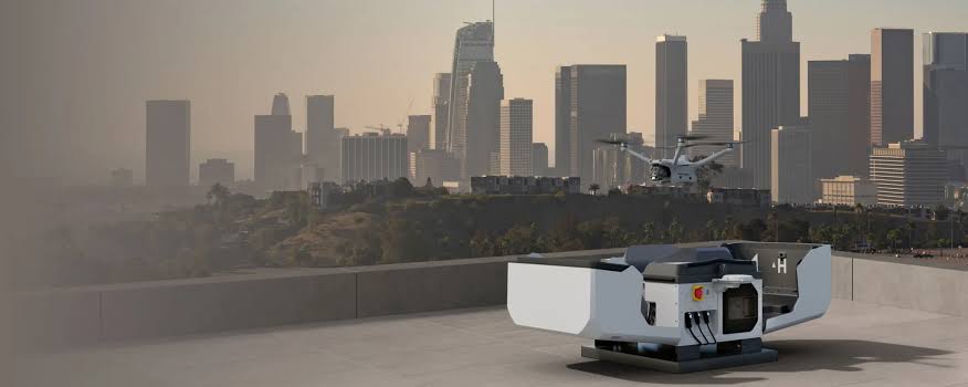
In conservation areas, plantations and high-risk forest zones, the DJI Dock 3 can support scheduled patrol missions without requiring a flight crew to travel to the launch location for every operation. When paired with a compatible thermal aircraft, repeated patrols can help teams identify emerging heat sources, investigate smoke reports and observe priority boundaries during periods of elevated fire risk.
Fixed autonomous stations may be positioned at strategically selected observation points to support recurring monitoring during fire season. Patrol frequency, coverage and detection performance should be planned around local terrain, vegetation density, weather, communications availability and applicable aviation regulations.
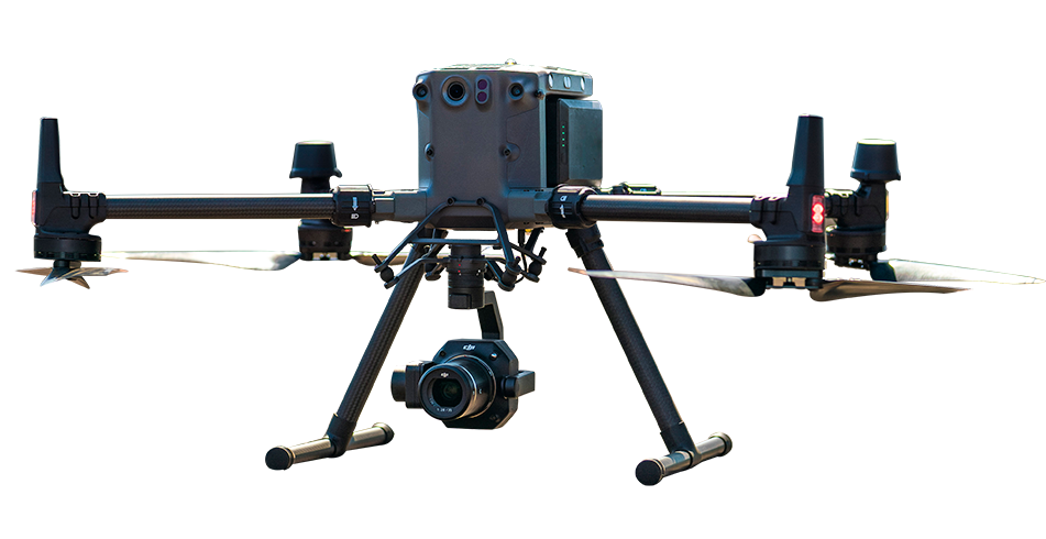
The DJI Matrice 30T can support mobile firefighting and conservation teams that require rapidly deployable thermal intelligence close to an active incident. It can provide an overhead view of fire-front movement, identify spot fires beyond the main perimeter and help supervisors position crews and vehicles using more current aerial information.
Hot-swappable batteries can reduce interruptions during extended operations, while the aircraft's weather-resistant design supports deployment in demanding field conditions. Flights near active fires must always account for smoke, turbulence, radiant heat, reduced visibility, emergency airspace restrictions and the safety of manned firefighting aircraft operating in the same area.
Conservation-area fire management: Scheduled thermal patrols can support early fire detection along national-park and protected-area boundaries in countries such as Kenya, Botswana and Uganda.
Agricultural escape-fire monitoring: Drone patrols can help identify crop-residue or pre-harvest burns that have escaped into surrounding vegetation or are approaching nearby settlements and community assets.
Highland forest protection: Thermal observation can support fire monitoring in high-value forest ecosystems, including Ethiopia's Afromontane forests and Rwanda's protected forest landscapes during dry-season risk periods.
Savanna fire-perimeter mapping: Aerial thermal mapping can help park managers distinguish managed burns from uncontrolled spread and document changes in the active fire line during response operations.
DJI enterprise drones equipped with thermal cameras can provide real-time aerial intelligence during wildfire and bushfire incidents. They help response teams identify active fire fronts, monitor the direction of spread, locate high-temperature hotspots and distinguish active areas from more stable sections of the perimeter. This aerial view supports safer ground-team positioning and helps incident commanders prioritise areas that may require immediate intervention.
Yes. A DJI Dock 3 autonomous station paired with a compatible thermal aircraft, such as the DJI Matrice 4TD, can support scheduled patrols around conservation areas, plantations and other high-risk boundaries. Repeated thermal missions can help teams identify emerging heat sources and small fires before they develop into larger incidents. Detection performance depends on patrol frequency, altitude, vegetation, weather and the size of the heat source.
Wide-area wildfire mapping generally benefits from a long-endurance aircraft because fire perimeters may be extensive and can change quickly. The DJI Matrice 400 offers up to 59 minutes of advertised flight time under specified test conditions, making it suitable for extended thermal observation and perimeter-mapping missions. Actual flight time and coverage depend on payload weight, wind, temperature, altitude, fire size, safety restrictions and the distance from the launch point to the operating area.

Fill in your details below and our team will get back to you with a personalised quote.