
Centimetre-Level RTK Positioning for Professional Survey Operations
Engineered for Accuracy, Designed for Versatile Deployment
DJI D-RTK 3 Multifunctional Station available across Africa from Aerosmart Africa, an authorised DJI Enterprise dealer.
Advanced logistics infrastructure backed by seamless inventory management
Established channel partnerships across 30+ African countries
Strategic warehousing across key African markets
Comprehensive pre-sales consultation and solution engineering
The D-RTK 3 Multifunctional Station is the ground reference infrastructure that converts a DJI enterprise survey drone into a survey-grade measurement instrument. It broadcasts real-time kinematic corrections to the aircraft during flight, enabling centimetre-level positional accuracy on every captured frame and every LiDAR return without placing a single ground control point across the survey area.
For African survey operations, this capability addresses a structural problem that has limited drone-based mapping across much of the continent. National terrestrial survey control networks are absent, incomplete, or physically inaccessible across large areas of every market Aerosmart serves. Establishing ground control the traditional way requires a survey crew, GNSS equipment, and hours or days of field time before the drone even launches. The D-RTK 3 replaces that entire pre-flight workflow with a single tripod-mounted base station that establishes its own reference and delivers survey accuracy from the first flight of the day.
Aerosmart supplies and supports the D-RTK 3 Multifunctional Station as an authorised DJI Enterprise dealer across Africa. Our team will configure the right base station and aircraft pairing for your accuracy requirement, your survey area geometry, and your existing coordinate reference framework.
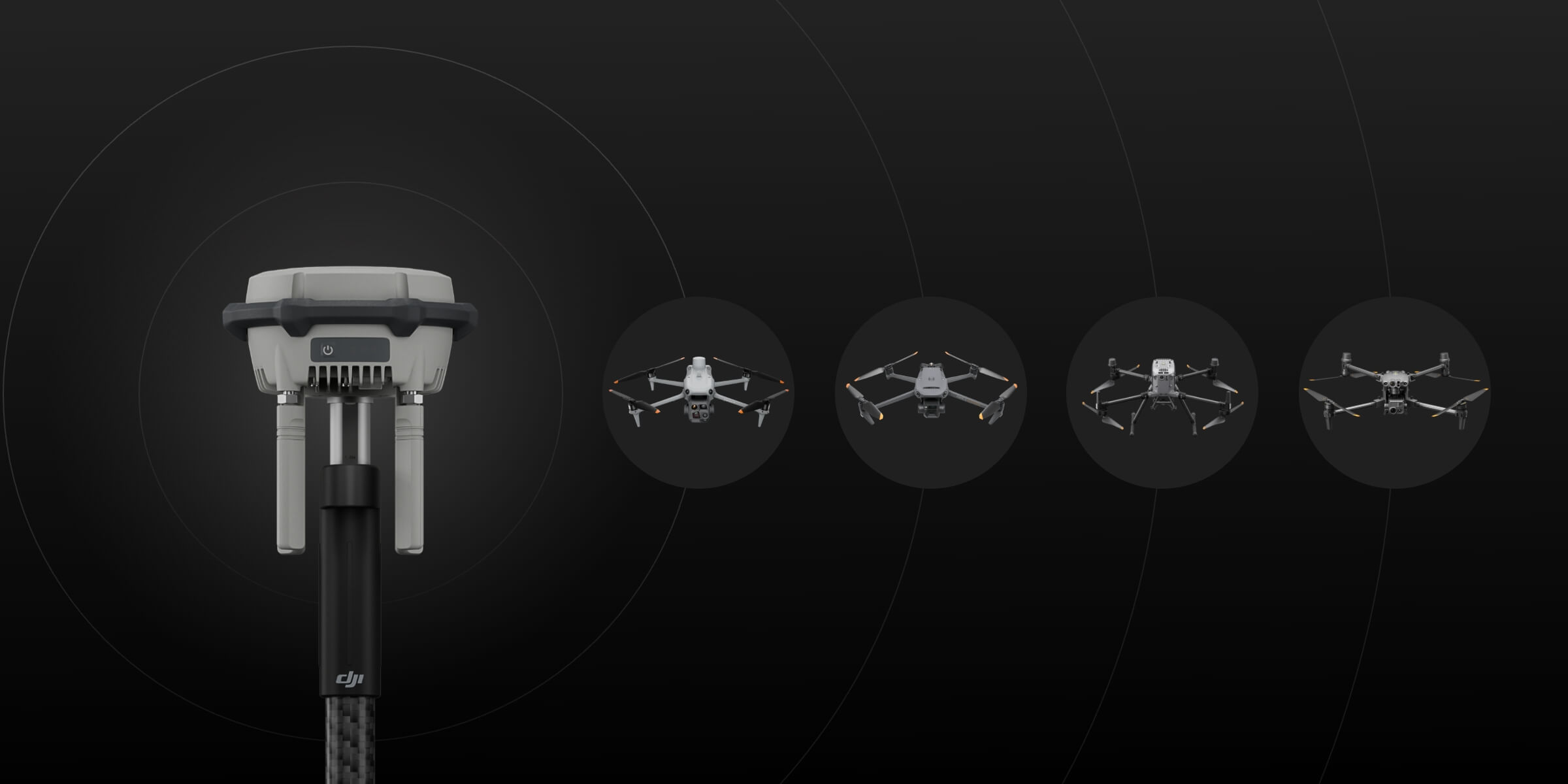
Positioning accuracy, constellation support, and platform compatibility at a glance.
Traditional aerial photogrammetry requires ground control points—surveyed markers placed across the mapping area and measured to known coordinates using terrestrial GNSS equipment—which processing software uses to constrain the photogrammetric solution to real-world coordinates. Placing and measuring GCPs across a survey area is slow, labour-intensive, and in many African operating environments genuinely difficult due to terrain access, security considerations, and the absence of the survey control network that GCP measurement references.
The D-RTK 3 removes that requirement. The base station establishes a fixed reference position and broadcasts real-time correction data to the aircraft throughout the flight. Every image captured and every LiDAR return recorded carries a centimetre-accurate position at the moment of capture. The photogrammetric solution is constrained by the aircraft's own positional accuracy rather than by ground markers.
The practical consequence for African survey operations is that a team arriving at a remote site can be flying survey-accuracy missions within minutes of arrival rather than after a full day of GCP establishment. For cadastral land titling programmes in Rwanda, Kenya, and Tanzania where survey area throughput determines programme delivery timelines, this workflow compression is the difference between a programme that completes on schedule and one that does not.
The D-RTK 3 receives signals from five GNSS constellations simultaneously: GPS, GLONASS, BeiDou, Galileo, and QZSS. Constellation diversity matters most in the environments where satellite visibility is partially obstructed and a single-constellation receiver would drop below the satellite count required for a fixed RTK solution.
In African survey environments, these conditions are common rather than exceptional. Open-pit mine floors present restricted sky view from the pit walls. Forest survey environments in Central and East Africa suffer canopy attenuation. Urban survey work in Nairobi, Lagos, Accra, and Kigali encounters building obstruction and multipath reflection from glass façades. Deep valley terrain across the Rift Valley system restricts satellite geometry along the valley axis.
Five-constellation reception maintains the satellite count and geometric distribution required for a fixed RTK solution in each of these conditions, where a GPS-only or dual-constellation receiver could fall back to a float solution or lose RTK entirely and forfeit the centimetre accuracy the survey depends on.
The D-RTK 3 provides the real-time correction data required for the Zenmuse L3 to achieve its full survey-grade positioning accuracy.
The DJI Zenmuse L3 achieves its published accuracy specification of 3 cm vertical at 120 m altitude only when paired with a D-RTK 3 base station providing real-time correction to the Matrice 400 carrying it.
Without D-RTK 3 correction, the L3 operates but does not reach its full accuracy performance, and post-processed kinematic correction becomes necessary to recover survey-grade output from the collected data.
For African mining survey operations, forestry carbon stock measurement, and infrastructure corridor mapping programmes deploying the Matrice 400 and Zenmuse L3 combination, the D-RTK 3 is not an optional accessory but a required system component.
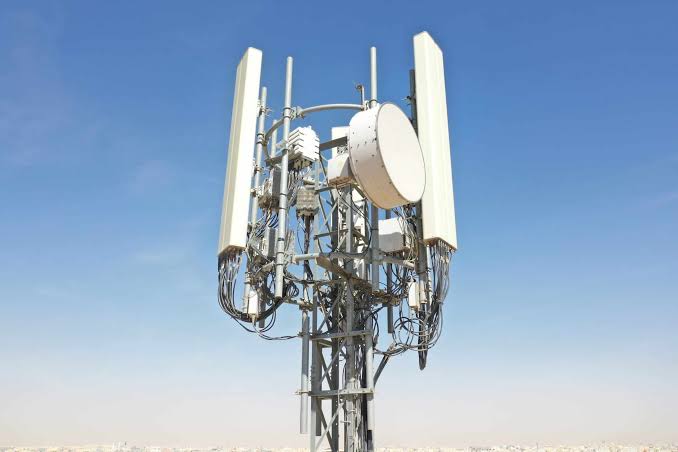
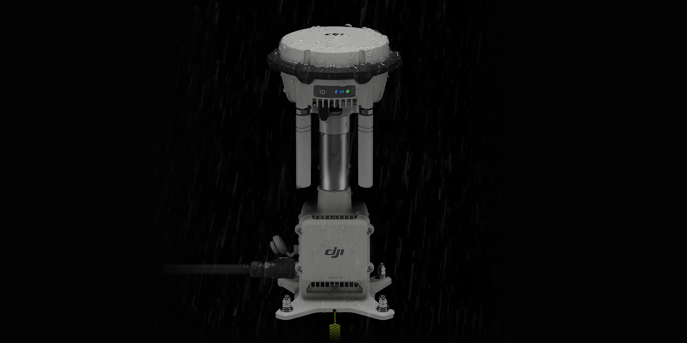
It can be deployed as a portable tripod-mounted base station for temporary field operations or installed as a fixed positioning station for repeated surveys and long-term infrastructure projects.
Tripod-mounted setup at temporary survey bases. The station establishes its reference position, begins correction broadcast, and the survey flight proceeds. At the end of the survey day the station packs into transport configuration for the next site.
Permanent mounting at established operating bases, mine sites, agricultural estates, and infrastructure facilities where survey operations recur on a scheduled basis. A permanently installed and surveyed base station position provides absolute coordinate accuracy consistent across every survey visit over the full programme lifetime.
In markets and locations where a CORS network is available, the D-RTK 3 supports NTRIP network correction, receiving corrections from the national or regional reference network rather than operating as an independent base.





Why Operators Buy the D-RTK 3 Through aerosmart
Every D-RTK 3 carries original DJI warranty, current firmware certification, and regulatory-compliant documentation. No parallel imports. No counterfeit risk.
Direct shipping with full export documentation and import duty guidance included for every destination market.
Our team advises on the coordinate reference system configuration required for your country's national survey framework, ensuring the survey output integrates directly into existing GIS and cadastral systems.
Base station siting advice, accuracy requirement assessment, and complete Matrice 400 + Zenmuse L3 + D-RTK 3 system configuration for your specific survey programme.
Dubai-based repair, maintenance, and remote diagnostics team available to all clients.
Base station deployment, RTK workflow configuration, DJI Terra processing integration, and PPK fallback procedure training available remotely and in-person.
Contact aerosmart for complete survey system pricing including aircraft, payload, base station, and processing software.
Survey data carries commercial, legal, and in cadastral applications, sovereign significance. The D-RTK 3 operates within DJI's enterprise data security architecture, supporting Local Data Mode operation where correction and observation data remain entirely within the operator's controlled environment throughout the survey programme.
For government land administration agencies and clients with data sovereignty requirements, the D-RTK 3 integrates into FlightHub 2 private deployment configurations without routing survey data through external cloud infrastructure.
Every D-RTK 3 Multifunctional Station purchased through aerosmart comes with access to DJI Care Enterprise Plus, covering the unit from the activation date.
All DJI Care Enterprise Plus activations and warranty claims are handled directly by aerosmart. No overseas routing, no third-party intermediaries.
Unlimited free repairs within coverage limit.
Shared limit across your fleet.
Hassle-free mail-in service.
Rapid response from trained DJI experts.
Worry-free support for every deployment.
The D-RTK 3 is available from aerosmart, an authorised DJI Enterprise dealer with delivery across 14+ African countries. Contact our team for pricing and configuration advice.
The D-RTK 3 delivers centimetre-level positioning: 1 cm + 1 ppm horizontal and 1.5 cm + 1 ppm vertical, enabling survey-grade aerial data without ground control points.
No. The D-RTK 3 broadcasts real-time RTK corrections to the aircraft during flight, constraining every captured image and LiDAR return to centimetre-accurate coordinates without requiring ground control markers across the survey area.
The D-RTK 3 is compatible with the DJI Matrice 400, Matrice 350 RTK, and Matrice 4 Series. It is required to achieve the Zenmuse L3's maximum published accuracy specification.
GPS, GLONASS, BeiDou, Galileo, and QZSS provide five-constellation reception that maintains fixed RTK solutions in partially obstructed sky-view conditions of mine pits, forest survey areas, urban canyons, and deep valley terrain.
Yes. Where a CORS reference network is available, the D-RTK 3 supports NTRIP network correction as an alternative to independent base station operation.
Yes. The D-RTK 3 adds expanded multi-constellation reception, faster satellite acquisition, improved tracking under partial obstruction, and Matrice 400 and Zenmuse L3 compatibility that the D-RTK 2 does not provide.
Pricing varies by configuration and destination country. Contact aerosmart for an accurate quote including complete survey system configuration advice.


Fill in your details below and our team will get back to you
with a personalized quote.