
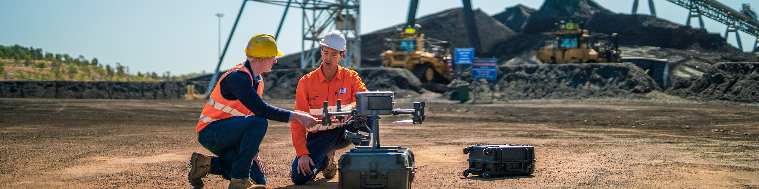
Africa is building at a scale and pace that is without historical precedent on the continent. Roads, dams, urban housing programmes, commercial real estate, ports, railways and industrial facilities are under construction simultaneously across multiple countries. These projects require rigorous and verifiable progress documentation at intervals that traditional site-inspection methods cannot always provide cost-effectively.
The problem at the heart of construction progress management is information lag. A project manager who last received accurate survey data from a site three weeks ago may be making decisions about resources, procurement and scheduling based on information that is already outdated. On an active African construction project, several weeks of information lag can create risks of expensive rework, contract disputes and reporting discrepancies.
DJI enterprise drones supplied by Aerosmart help close this information gap by producing centimetre-accurate 2D and 3D site documentation at the frequency required by the project-management programme. Data can be collected without interrupting normal site operations or deploying a dedicated survey crew for every routine monitoring cycle.
African construction projects face progress-monitoring challenges that compound the general difficulties of major project management. Projects frequently span remote or semi-accessible locations where survey-crew mobilisation costs are high. Internationally funded projects may also require documentation standards that manual site photography and verbal reporting cannot reliably satisfy.
Multi-partner projects, including joint ventures, public-private partnerships and contractor-subcontractor structures, require a shared and verifiable data source that all parties can access with confidence.
Rework is one of the costliest consequences of poor progress monitoring. When a deviation from the design specification remains undetected for several weeks, the cost of correction increases as more work is constructed around or above the original error. Frequent and accurate aerial survey data can help identify these deviations before they become larger problems.
For construction projects where the monitoring frequency justifies a permanent on-site autonomous system, the DJI Dock 3 can transform progress monitoring from a scheduled survey-crew visit into a continuously available aerial data-collection service.
The DJI Dock 3 is installed at the site, while routine data collection flights are scheduled through DJI FlightHub 2. Missions can be configured to run every morning, every week or at another interval required by the project-management programme.
The Matrice 4D launches autonomously, follows the pre-planned mapping mission, captures site imagery using its mechanical-shutter camera and RTK positioning, returns to the dock and uploads the collected data to FlightHub 2.
This workflow allows project managers to access recent, time-stamped and georeferenced progress information without deploying a survey team for every routine monitoring mission.
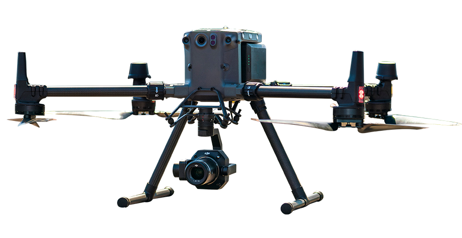
The Matrice 4D provides extended flight time for surveying construction sites covering several square kilometres. Its mechanical-shutter camera and RTK positioning support the spatial accuracy required for earthwork volume calculation, structural progress comparison and BIM model updating.
Its weather-resistant design also supports operations across the rain, dust and seasonal environmental conditions encountered on construction sites in different parts of Africa.
For road construction, dam and water-infrastructure projects, large residential developments, port construction and other long-term programmes, the DJI Dock 3 can provide the progress data required for management reporting, contractor-payment verification and stakeholder oversight.
For construction projects where permanent autonomous infrastructure is not justified, the DJI Matrice 4E provides a flexible portable survey solution. It is also suitable for survey teams responsible for multiple project locations within the same operational programme.
The Matrice 4E folds into a transportable configuration, can operate from a cleared area near the project perimeter and can complete systematic mapping missions planned through DJI Pilot 2.
DJI Terra can process the collected imagery into orthomosaics, digital surface models, point clouds and 3D site models. Processing can be completed on the same day as the flight, allowing the survey team to verify data quality and compare current conditions with design information before leaving the site.
This portable workflow is suitable for road-programme supervisors, housing-project engineers, international development monitors and construction teams managing multiple active sites across different locations.
Data Collection: Plan routine 2D orthomosaic missions, waypoint missions, panoramic recording or scheduled site surveys through DJI Pilot 2 or DJI FlightHub 2.
Data Processing: DJI FlightHub 2 can process compatible Dock mission data, while manual Matrice 4E missions can be processed through DJI Terra to produce orthomosaics, digital surface models, point clouds and 3D models.
Data Analysis: Compare the current site orthomosaic or model against previous survey dates, project designs or BIM information to identify construction progress, earthwork quantity changes and possible deviations from the planned design.
Compare DJI platforms and software solutions for automated construction monitoring and portable multi-site survey operations.
| Scenario | Platform | Payload/Software | Advantage |
|---|---|---|---|
| Automated routine monitoring |
DJI Dock 3 + Matrice 4D
|
DJI FlightHub 2 | Scheduled data collection, automatic upload and reduced need for routine crew deployment |
| Multi-site portable survey |
DJI Matrice 4E
|
DJI Terra + DJI Pilot 2 | Single-pilot operation, flexible deployment and same-day processing |
DJI enterprise drones produce high-frequency, centimetre-accurate 2D and 3D site documentation, giving project managers access to current site information instead of relying only on survey records that may be several weeks old. DJI Terra can process the collected imagery into orthophotos, digital surface models and 3D site models for comparison with design plans, BIM models and previous construction records.
Yes. A DJI Dock 3 autonomous station installed at a construction site can launch the aircraft, complete a predefined survey mission and upload the collected data according to a schedule configured in DJI FlightHub 2. Routine monitoring flights can therefore operate without an on-site survey crew for every mission, subject to local regulations, connectivity and operating conditions.
Using a DJI Matrice 4D or Matrice 4E with RTK positioning and a mechanical-shutter camera, centimetre-level horizontal accuracy may be achieved under suitable survey conditions. This can support earthwork volume calculations, structural-progress verification, stockpile measurement and comparison between current site conditions and BIM or design models.

Fill in your details below and our team will get back to you
with a personalized quote.