
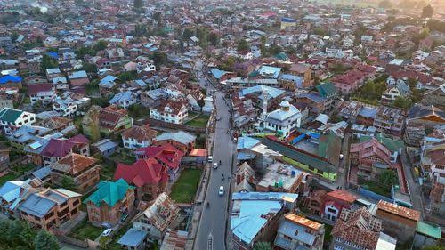
The Democratic Republic of the Congo holds mineral resources of global strategic importance and forest cover second only to the Amazon, and both create drone requirements at a scale few countries match. The Katanga Copperbelt Kolwezi, Likasi, Fungurume, Lubumbashi and the surrounding operations produces copper and cobalt at volumes where survey accuracy is commercially consequential, while the Congo Basin forest represents carbon stock and biodiversity of planetary significance that only aerial measurement can quantify across the areas involved.
Drone operations in the DRC are regulated by the Autorité de l'Aviation Civile (AAC) under the national RPAS rules (referenced as RACD 06). For enterprise operators particularly in mining a compliant, well-supported fleet is not optional: it is the difference between a survey programme that scales and one that stalls at the first regulatory or logistics hurdle.
What separates a productive fleet from an idle one is the support around it: correct platform selection, clean registration and import paperwork, competent local operators, and a reliable service pathway. Aerosmart Africa is built around that full lifecycle rather than a single sale, which is why Congolese mining operations, forestry programmes and survey firms treat us as a long-term partner.
Aerosmart Africa supplies the complete DJI range into the DRC as an authorised DJI Enterprise and DJI Agriculture dealer, with delivery to Kinshasa, Lubumbashi, Kolwezi and nationwide, AAC regulatory guidance, and French-language training across the country.
Copper and Cobalt Mining The Katanga Copperbelt operations across Kolwezi, Likasi, Fungurume and Kambove require stockpile volumetric inventory, open-pit geometry documentation, high-wall mapping, haul-road assessment and tailings monitoring. LiDAR is particularly relevant where vegetation cover and fragmented blast-face geometry defeat photogrammetric reconstruction.
Forestry and Carbon The Congo Basin forest is one of the world's most significant carbon stocks. LiDAR canopy measurement supporting biomass estimation, REDD+ programme monitoring and forest-change detection operates across areas where aerial capability is the only practical measurement approach.
Infrastructure Road and rail corridors serving the mining sector, hydropower infrastructure including the Inga complex, and urban development in Kinshasa and Lubumbashi generate survey and progress-monitoring demand.
Agriculture Palm oil, coffee, cocoa and food-crop production across the country present application and mapping requirements, particularly in the more organised commercial holdings.
Conservation Virunga, Salonga, Garamba and Kahuzi-Biega represent protected areas of exceptional biodiversity significance requiring monitoring across terrain that ground access does not systematically cover.
Utilities and Energy Inspection Power transmission serving the mining sector and processing plants requires line, substation and structure inspection where thermal and zoom payloads reduce downtime and risk.
Drone operations in the DRC are regulated by the Autorité de l'Aviation Civile (AAC) under the national RPAS framework (RACD 06). The summary below is practical guidance, not legal advice; always confirm current requirements with the AAC or through Aerosmart's French-language regulatory brief.
Aircraft Registration Unmanned aircraft require AAC registration with manufacturer documentation including verified serial numbers.
RPAS Operating Permit (PER) Commercial operators require an RPAS operating permit (Permis d'Exploitation, PER), valid for twelve months. To be eligible, the applicant must have its main operating base in the DRC, be entered in the DRC trade register, employ qualified personnel adequate to operate commercial RPAS safely, and where a camera is used hold authorisation from the Minister responsible for security. A renewal request must be submitted at least one month before the PER expires.
Pilot and Operator Authorisation Commercial operation requires AAC pilot authorisation following approved training, and organisations require operator-level authorisation demonstrating procedures, safety management and personnel competency.
Import Authorisation Drone importation requires prior approval, and the DRC import process demands attention to documentation completeness to avoid detention at entry.
Provincial and Site Coordination Operations in certain provinces may require additional coordination beyond national aviation authorisation, and mine-site operations require coordination with site-management arrangements.
Operational Restrictions Restrictions apply around N'djili International (Kinshasa), Luano International (Lubumbashi) and other aerodromes, alongside designated and sensitive areas.
What Aerosmart provides: a written DRC-specific regulatory brief in French covering registration, the PER operating permit and its local-base requirement, camera authorisation, import approval, provincial coordination and airspace restrictions plus AAC-compatible documentation with every purchase.
Explore DJI enterprise drones, autonomous stations, payloads, software and accessories available for organisations and authorised operators across the Democratic Republic of the Congo.
| Category | Products |
|---|---|
|
Enterprise Drones
|
Matrice 400 · Matrice 350 RTK · Matrice 4 Series · Matrice 30T |
|
Autonomous Stations
|
DJI Dock 3 · DJI Dock 2 |
|
Cargo Drones
|
DJI FlyCart 30 · DJI FlyCart 100 |
|
Agriculture Drones
|
DJI Agras T100 · DJI Agras T50 · DJI Agras T25 · DJI Mavic 3 Multispectral |
|
Payloads
|
Zenmuse H30 Series · Zenmuse L2 · Zenmuse L3 · Zenmuse P1 · Zenmuse H20 Series · Zenmuse S1 · Zenmuse V1 |
|
Camera Drones
|
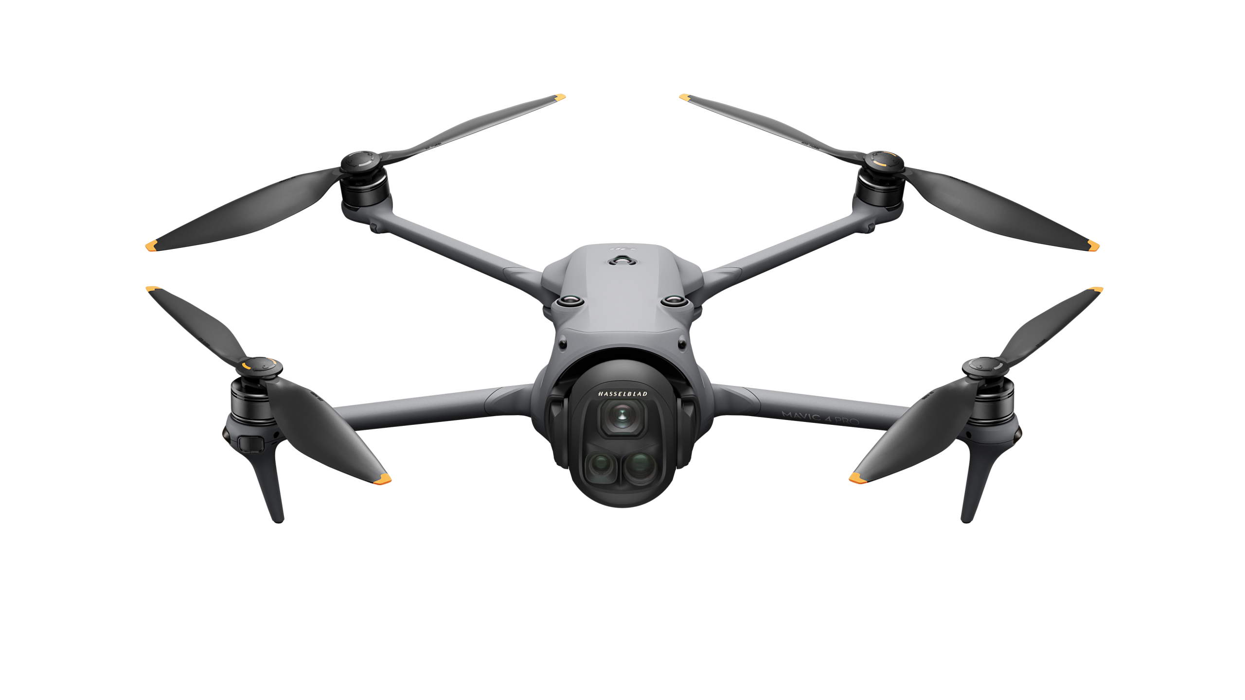
DJI Mavic 4 Pro · DJI Mini 5 Pro · DJI Air 3S · DJI Inspire 3 · DJI Avata 2 · DJI Neo 2 |
|
Software
|
DJI FlightHub 2 · DJI Terra · DJI Modify · PIX4Dmatic · PIX4Dsurvey |
|
Accessories
|
DJI D-RTK 3 · DJI D-RTK 2 · DJI O4 Ground Station · AP100 Parachute |
Mining survey drives most enterprise demand, and platform choice reflects it. For large concessions, the Matrice 400 with Zenmuse L3 covers extensive LiDAR mapping in a single deployment, its multiple returns per pulse penetrating vegetation to record the bare-earth surface that photogrammetry misses. For standard pit and stockpile survey, the Matrice 350 RTK with Zenmuse L2 delivers centimetre-grade output with a D-RTK base station, and the Zenmuse P1 adds high-resolution photogrammetry where conditions suit. For forestry and carbon, the L3's canopy penetration produces the height models that biomass estimation and REDD+ monitoring require. For plant and power inspection, the Matrice 30T or Matrice 400 with the Zenmuse H30T combines thermal and long-range zoom. Copperbelt dust and heat make an IP-rated airframe and a dust-calibrated maintenance schedule a functional requirement factors Aerosmart accounts for in pre-sale consultation. For remote Copperbelt and forestry deployments far from any service centre, we build spare batteries, redundant LiDAR and camera payload sets, and a maintenance-parts buffer into the initial package, so a survey campaign is not derailed by a single component failure hundreds of kilometres from support. This provisioning discipline is what keeps a Congolese mine-survey programme running on schedule.
Aerosmart supports operators nationwide, with concentrated demand in Kolwezi, Likasi, Fungurume and Lubumbashi (copper and cobalt mining), Kinshasa (infrastructure, government, urban survey), and Goma, Bukavu, Kananga and the forestry and conservation regions. We deliver, configure, register and support fleets wherever your operation is based, and our French-language training teams travel to site.
Aerosmart Academy delivers training in French across the DRC Kinshasa, Lubumbashi, Kolwezi, Likasi, Goma and the mining regions structured around AAC authorisation requirements and delivered on genuine DJI enterprise platforms. Training covers flight operations, LiDAR and payload workflows, mine-survey data processing, and the registration, PER permit and pilot-authorisation steps operators need to fly legally and productively.
In the DRC's mining and forestry programmes, the deliverable is everything the reconciled stockpile tonnage, the bare-earth pit surface, the canopy-height model behind a carbon estimate. Aerosmart supplies and configures the full DJI software chain so your fleet produces those outputs dependably: FlightHub 2 for fleet management and mission planning; DJI Terra for photogrammetry, LiDAR point-cloud processing and volumetric calculation; and PIX4Dmatic and PIX4Dsurvey for large-area mapping and survey-grade results. LiDAR captures from the Zenmuse L2 and L3 process into classified point clouds, bare-earth digital terrain models and accurate volumes that withstand monthly reconciliation on active Copperbelt sites; for forestry and REDD+ work, the same data yields canopy-height and biomass-input models across large blocks; and all outputs export into the GIS and mine-planning tools your technical teams already run. We configure and hand over these workflows in French during onboarding, so operators deliver client-ready results from the first survey.
01 Authorised DJI Enterprise Dealer. Genuine products, manufacturer warranty, firmware support and AAC-compatible documentation.
02 DRC Delivery. Delivery to Kinshasa, Lubumbashi, Kolwezi and locations nationwide, with customs documentation support.
03 French-Language Regulatory Guidance. A written DRC-specific regulatory brief in French, including the PER operating permit and its local-base requirements.
04 Mining Survey Configuration. LiDAR and photogrammetry platform selection for Katanga Copperbelt surveying, stockpile measurement, pit mapping and mine-monitoring requirements.
05 Import Authorisation Support. Guidance through the required import documentation and authorisation process to help avoid delays or detention at entry.
06 French-Language Training. Aerosmart Academy provides on-site operational and product training in French anywhere in the Democratic Republic of the Congo.
07 Service Coordination. Remote diagnostics, repair routing and DJI Care Enterprise claims are managed directly.
Aerosmart Africa is an authorised DJI Enterprise and DJI Agriculture dealer supplying across the Democratic Republic of the Congo, with delivery to Kinshasa, Lubumbashi, Kolwezi and locations nationwide.
Yes. Commercial operations require an AAC RPAS operating permit known as the PER, which is valid for 12 months, together with pilot and operator authorisation. The aircraft must also be registered with the AAC. Eligibility for the PER requires a main operating base in the DRC and registration in the DRC trade register.
Yes. Where a camera is used, the PER requires authorisation from the ministry responsible for security. Aerosmart's French-language regulatory brief covers this requirement.
The DJI Matrice 400 with the Zenmuse L3 is suitable for large-concession LiDAR coverage, while the DJI Matrice 350 RTK with the Zenmuse L2 suits standard pit and stockpile surveying. Both workflows can be paired with a D-RTK base station for centimetre-grade positioning.
Yes. The Zenmuse L3's multiple returns per pulse can penetrate vegetation canopy to record the bare-earth surface, supporting canopy-height modelling for biomass estimation and REDD+ monitoring requirements.
Importing a drone requires prior approval and complete documentation. Aerosmart provides import guidance and documentation support with every purchase delivered to the DRC.
Yes. Aerosmart Academy delivers its training programmes in French across the DRC using genuine DJI enterprise platforms.
Pricing depends on the aircraft, payload, software, accessories and operational configuration required. Contact Sales@aerosmartglobal.com with your application requirements for a tailored quotation.
Yes. Aerosmart coordinates remote diagnostics, repair routing and DJI Care Enterprise claims after delivery. French-language support is also available to help Copperbelt, mining and forestry operations remain active when equipment requires attention away from a service centre.

Fill in your details below and our team will get back to you
with a personalized quote.